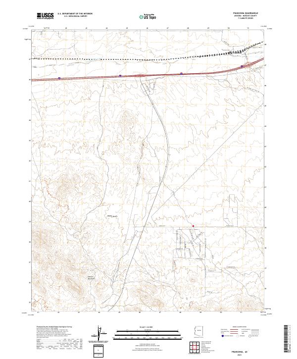
2021 Map of Franconia
USGS Topo · Published 2021About this map
Sacramento Wash carves a path through this section of the Mojave Desert, marking a drainage corridor that has historically dictated the movement of people and livestock across the arid basin. Near the northeastern corner of the sheet, the small settlement of Franconia sits along the rail line, anchored by the Franconia Cem. The landscape here is defined by the transition from the low desert floor to the rising elevations of the Mohave Mountains in the south, where Jeep trails like 4442 Trl weave through the rugged topography. Modern residential development is visible at Havasu Hts, where a grid of streets like Palo Verde Rd and Skyview Dr contrasts with the open government land. Historical transportation routes are well-represented by the National Old Trails Rd, a legacy of early transcontinental travel that parallels the modern interstate corridor.
Find a feature on this map
39 named features on this map. Tap any name to fly to it.
Don’t see what you’re looking for? This feature index may not catch every label — zoom into the map to look around manually.
Map Details
Editions of this 2021 Franconia Map
This is the sole edition of this map. No revisions or reprints were ever made.
Other maps of this area

1903 · Needles
USGS Topo · 1:125,000

1904 · Needles Special
USGS Topo · 1:125,000

1927 · Yucca
USGS Topo · 1:62,500

1927 · Buck Mountains
USGS Topo · 1:62,500

1929 · Buck Mountains
USGS Topo · 1:62,500

1929 · Yucca
USGS Topo · 1:62,500

1943 · Topock
USGS Topo · 1:62,500

1950 · Topock
USGS Topo · 1:62,500

1951 · Topock
USGS Topo · 1:62,500

1954 · Needles
USGS Topo · 1:250,000