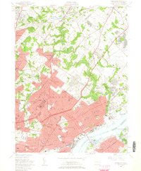
1950 Map of Frankford
USGS Topo · Published 1960About this map
Philadelphia and its northern suburbs are captured here at the mid-century peak of their industrial and residential expansion. The landscape is defined by the heavy presence of government and institutional sites, notably the Frankford Arsenal and the U S Naval Supply Depot, which sit as massive hubs of activity near the Delaware River. Dense residential neighborhoods like Frankford, Mayfair, and Wissinoming transition into the more suburban atmosphere of Abington and Rockledge to the north.
Find a feature on this map
131 named features on this map. Tap any name to fly to it.
Don’t see what you’re looking for? This feature index may not catch every label — zoom into the map to look around manually.
Map Details
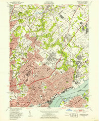
Editions of this 1950 Frankford Map
2 editions found
Other maps of this area

1888 · Mount Holly
USGS Topo · 1:62,500

1890 · Burlington
USGS Topo · 1:62,500

1891 · Philadelphia
USGS Topo · 1:62,500

1893 · Germantown
USGS Topo · 1:62,500

1893 · Burlington
USGS Topo · 1:62,500

1894 · Mount Holly
USGS Topo · 1:62,500

1894 · Philadelphia
USGS Topo · 1:62,500

1894 · Germantown
USGS Topo · 1:62,500

1896 · Germantown
USGS Topo · 1:62,500

1896 · Philadelphia
USGS Topo · 1:62,500
Featured Places
- Philadelphia, PA
- Abington Township, PA
- Cheltenham Township, PA
- Cinnaminson Township, NJ
- Lower Moreland Township, PA