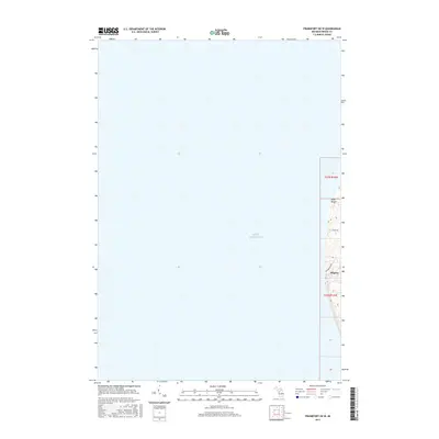
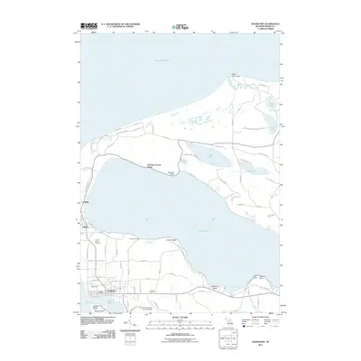
2017 Map of Frankfort OE W
USGS Topo · Published 2017About this map
Lake Michigan dominates this coastal survey, where the vast majority of the quadrangle covers open water west of the Michigan shoreline. The map captures a narrow but significant strip of land in Benzie County, defined by the prominent landmark of Point Betsie. This coastal edge is characterized by a mix of residential development and winding roads that follow the lake's contours. The small settlement of Pilgrim appears near the southern end of the landmass, situated along Brewster Blvd. Unlike interior maps, this perspective emphasizes the maritime boundary and the specific residential patterns of the lakeshore, including Sylvan Rd, providing a clear record of the coastline's topography and land use in the late 2010s.
Find a feature on this map
7 named features on this map. Tap any name to fly to it.
Don’t see what you’re looking for? This feature index may not catch every label — zoom into the map to look around manually.
Map Details
Editions of this 2017 Frankfort OE W Map
This is the sole edition of this map. No revisions or reprints were ever made.
Other maps of this area

1954 · Manitowoc
USGS Topo · 1:250,000

1956 · Frankfort
USGS Topo · 1:62,500

1957 · Empire
USGS Topo · 1:62,500

1958 · Manitowoc
USGS Topo · 1:250,000

1976 · Frankfort NW
USGS Topo · 1:24,000

1976 · Frankfort SW
USGS Topo · 1:24,000
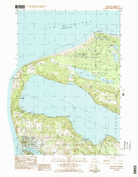
1983 · Frankfort
USGS Topo · 1:24,000
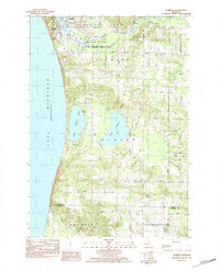
1983 · Elberta
USGS Topo · 1:25,000
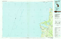
1984 · Crystal Lake
USGS Topo · 1:100,000
2011 · Frankfort
USGS Topo · 1:24,000