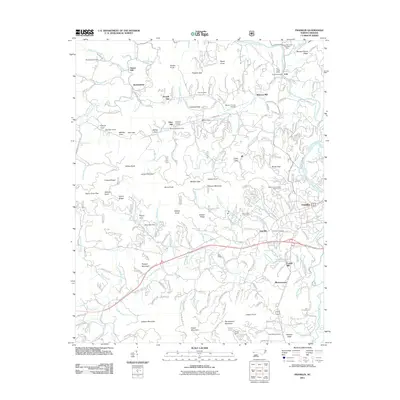
2011 Map of Franklin
USGS Topo · Published 2011About this map
Franklin serves as the central hub for this portion of the Little Tennessee Valley, where the Little Tennessee River meets the winding Cartoogechaye Creek. The 2011 landscape reveals a deep history of local industry and agriculture, marked by the presence of historical milling sites such as Malonee Mill, Deans Mill, and Cozads Mill. Gem mining heritage is particularly evident in the northern reaches, where the Rose Creek Mine and Masons Sapphire Mine are situated near the community of Iotla.
Find a feature on this map
95 named features on this map. Tap any name to fly to it.
Don’t see what you’re looking for? This feature index may not catch every label — zoom into the map to look around manually.
Map Details
Editions of this 2011 Franklin Map
This is the sole edition of this map. No revisions or reprints were ever made.
Other maps of this area

1891 · Cowee
USGS Topo · 1:125,000

1897 · Cowee
USGS Topo · 1:125,000

1907 · Cowee
USGS Topo · 1:125,000

1933 · Bryson
USGS Topo · 1:62,500

1933 · Bushnell
USGS Topo · 1:62,500

1935 · Franklin
USGS Topo · 1:24,000

1935 · Rainbow Springs
USGS Topo · 1:24,000

1935 · Prentiss
USGS Topo · 1:24,000

1935 · Burningtown Bald
USGS Topo · 1:24,000

1935 · Wayah Bald
USGS Topo · 1:48,000