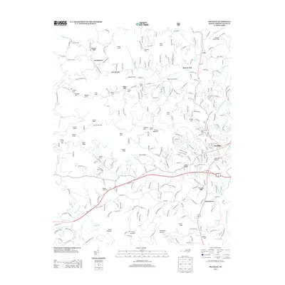
2013 Map of Franklin
USGS Topo · Published 2013About this map
The Little Tennessee River winds through this mountain landscape, anchoring the town of Franklin and its surrounding communities. The geography is defined by a dense network of gaps and knobs, including Parrish Gap, Horton Knob, and Roper Knob, which historically dictated the paths of local travel. Small settlements like Burningtown and Iotla are situated along the valley floors, while larger landmarks such as the Macon County Airport and the North Carolina State Prison Camp stand on the outskirts of the primary township.
Find a feature on this map
132 named features on this map. Tap any name to fly to it.
Don’t see what you’re looking for? This feature index may not catch every label — zoom into the map to look around manually.
Map Details
Editions of this 2013 Franklin Map
This is the sole edition of this map. No revisions or reprints were ever made.
Other maps of this area

1891 · Cowee
USGS Topo · 1:125,000

1897 · Cowee
USGS Topo · 1:125,000

1907 · Cowee
USGS Topo · 1:125,000

1933 · Bryson
USGS Topo · 1:62,500

1933 · Bushnell
USGS Topo · 1:62,500

1935 · Franklin
USGS Topo · 1:24,000

1935 · Rainbow Springs
USGS Topo · 1:24,000

1935 · Prentiss
USGS Topo · 1:24,000

1935 · Burningtown Bald
USGS Topo · 1:24,000

1935 · Wayah Bald
USGS Topo · 1:48,000