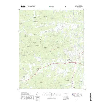
2019 Map of Franklin
USGS Topo · Published 2019About this map
The Little Tennessee River and Cartoogechaye Creek converge near the township of Franklin, serving as the primary geographical anchors for this portion of Macon County. The landscape is defined by its numerous family-named peaks and gaps, including Horton Knob, Gibson Ridge, and Pendergrass Mtn. For those tracing local heritage, several historic milling sites are recorded, such as Deans Mill in the north and Cozads Mill to the south.
Find a feature on this map
97 named features on this map. Tap any name to fly to it.
Don’t see what you’re looking for? This feature index may not catch every label — zoom into the map to look around manually.
Map Details
Editions of this 2019 Franklin Map
This is the sole edition of this map. No revisions or reprints were ever made.
Other maps of this area

1891 · Cowee
USGS Topo · 1:125,000

1897 · Cowee
USGS Topo · 1:125,000

1907 · Cowee
USGS Topo · 1:125,000

1933 · Bryson
USGS Topo · 1:62,500

1933 · Bushnell
USGS Topo · 1:62,500

1935 · Franklin
USGS Topo · 1:24,000

1935 · Rainbow Springs
USGS Topo · 1:24,000

1935 · Prentiss
USGS Topo · 1:24,000

1935 · Burningtown Bald
USGS Topo · 1:24,000

1935 · Wayah Bald
USGS Topo · 1:48,000