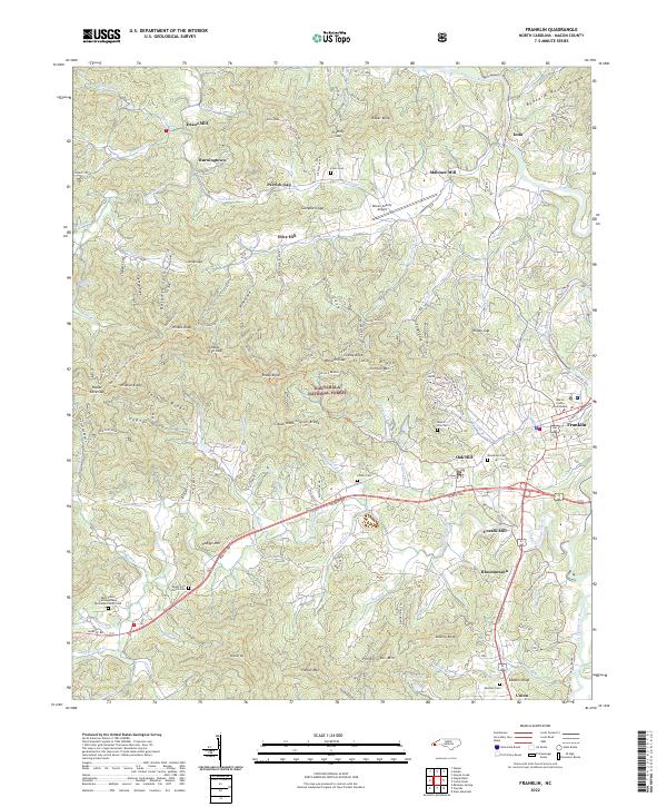
2022 Map of Franklin
USGS Topo · Published 2022About this map
The Little Tennessee River flows through this corner of the Blue Ridge, where the town of Franklin serves as the regional hub and seat of the Macon County Courthouse. The landscape is a complex network of ridges and coves, including Tarkiln Ridge and Trimont Ridge, punctuated by family-named landmarks like Patton Mtn and Bruce Knob. Early industrial sites are scattered across the valley floors, evidenced by Deans Mill, Malonee Mill, and Cozads Mill.
Find a feature on this map
104 named features on this map. Tap any name to fly to it.
Don’t see what you’re looking for? This feature index may not catch every label — zoom into the map to look around manually.
Map Details
Editions of this 2022 Franklin Map
This is the sole edition of this map. No revisions or reprints were ever made.
Other maps of this area

1891 · Cowee
USGS Topo · 1:125,000

1897 · Cowee
USGS Topo · 1:125,000

1907 · Cowee
USGS Topo · 1:125,000

1933 · Bryson
USGS Topo · 1:62,500

1933 · Bushnell
USGS Topo · 1:62,500

1935 · Franklin
USGS Topo · 1:24,000

1935 · Rainbow Springs
USGS Topo · 1:24,000

1935 · Prentiss
USGS Topo · 1:24,000

1935 · Burningtown Bald
USGS Topo · 1:24,000

1935 · Wayah Bald
USGS Topo · 1:48,000