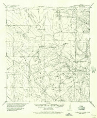
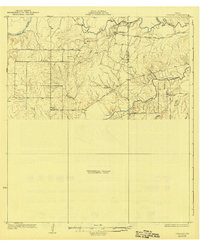
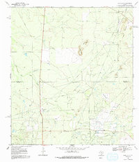
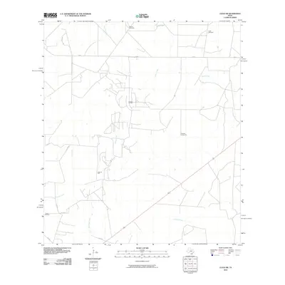
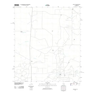
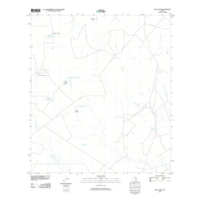
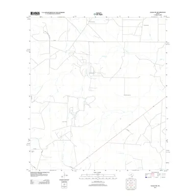
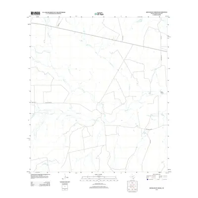
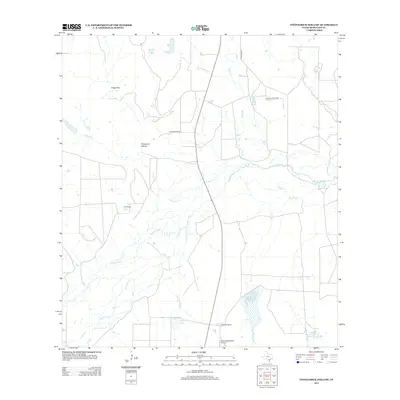
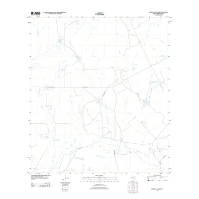
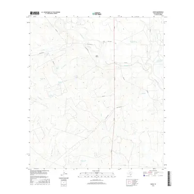
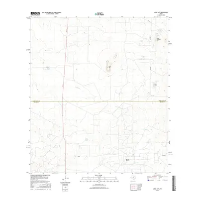
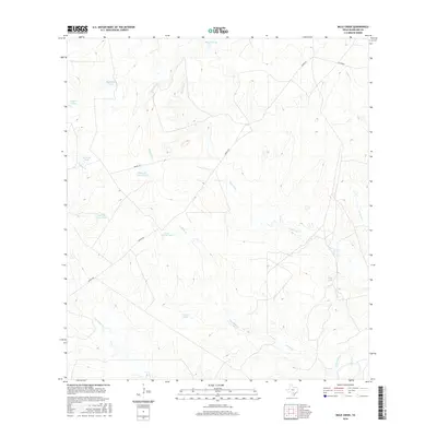
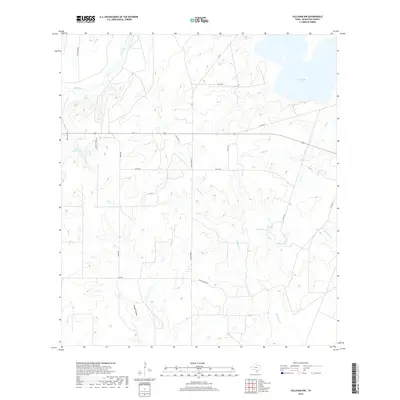
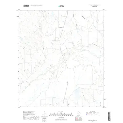
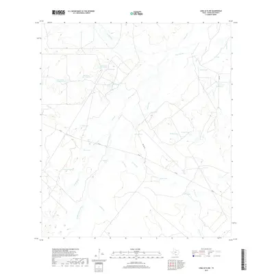
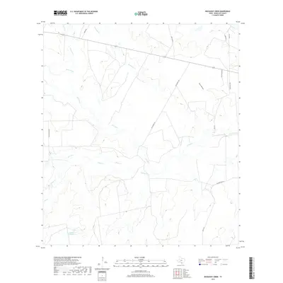
1956 Map of Franklin Settlement
USGS Topo · Published 1956About this map
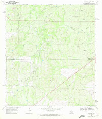
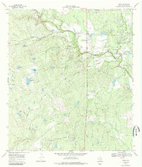
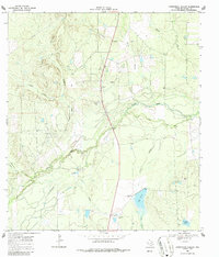
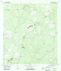
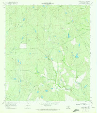
The borderlands of Atascosa Co Mc Mullen Co are defined by a network of private cattle operations and ephemeral watercourses. This territory, largely shaped by the ranching economy of mid-century South Texas, centers on the Franklin Settlement (Cross) and the Campbellton Rd corridor. The map documents several established homesteads including the Burmeister Ranch, Vrana Ranch, and Coward Ranch, providing a clear look at land ownership and the placement of residences relative to the landscape. An intriguing mention of Ruins near the Vrana Ranch suggests an earlier layer of habitation or industry no longer in use by the time of this 1942 revision. The terrain is marked by seasonal drainage basins such as Turkey Creek, Miguel Creek, and Macho Cr, which flow toward the southern reaches of the county.
Find a feature on this map
22 named features on this map. Tap any name to fly to it.
Don’t see what you’re looking for? This feature index may not catch every label — zoom into the map to look around manually.
Map Details
Editions of this 1956 Franklin Settlement Map
This is the sole edition of this map. No revisions or reprints were ever made.
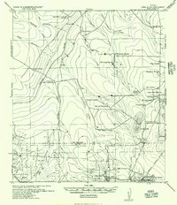
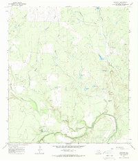
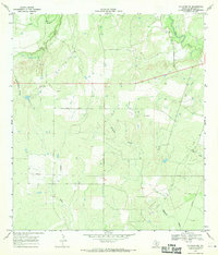
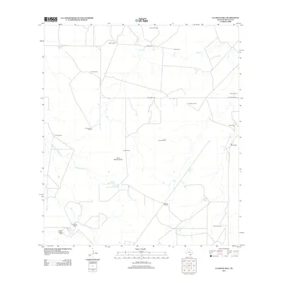
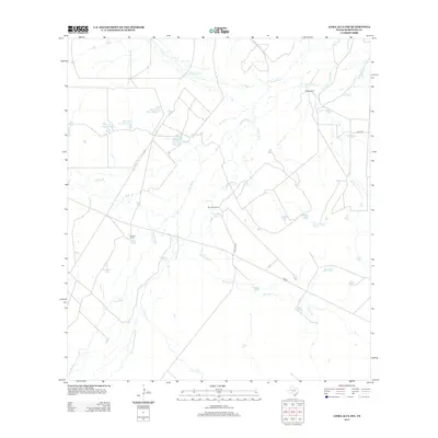
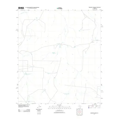
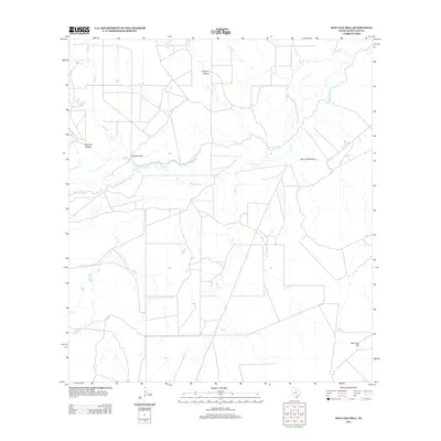
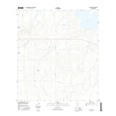
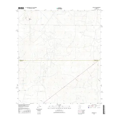
Historical Maps of Cross Through Time
90 maps found
1925 Crowther No. 3
McMullen County, TX
1925 Simmons No. 2
McMullen County, TX
1925 Tilden No. 1
McMullen County, TX
1929 Simmons
McMullen County, TX
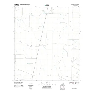
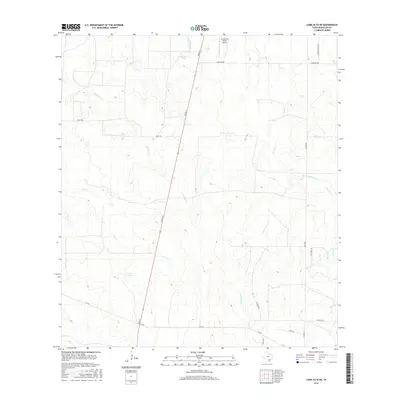
1937 Loma Alta
McMullen County, TX
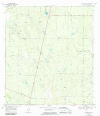
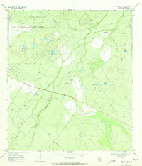
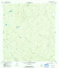
1956 Franklin Settlement
McMullen County, TX
1965 Crowther
McMullen County, TX
1967 Calliham NW
McMullen County, TX
1969 Clegg SW
McMullen County, TX
1969 Cross
McMullen County, TX
1969 Fitzpatrick Hollow
McMullen County, TX
1969 La Chusa Hill
McMullen County, TX
1969 Loma Alta
McMullen County, TX
1969 Loma Alta NE
McMullen County, TX
1969 Loma Alta NW
McMullen County, TX

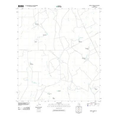
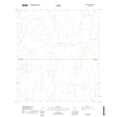
1969 Mirasol Creek
McMullen County, TX
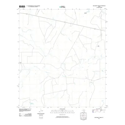
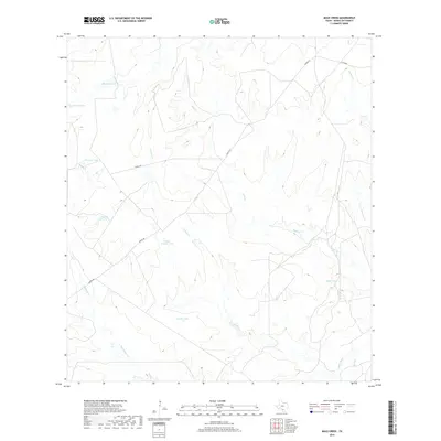
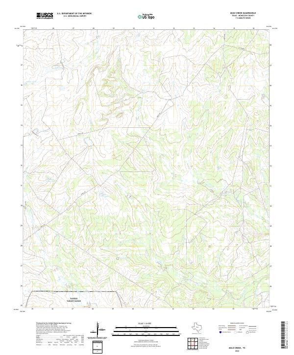
1969 Mule Creek
McMullen County, TX
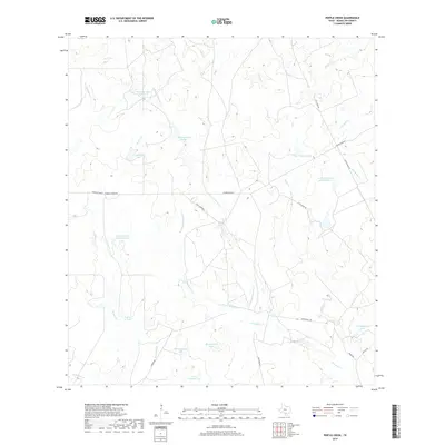
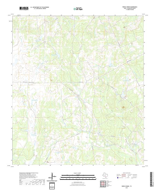
1969 Pertle Creek
McMullen County, TX
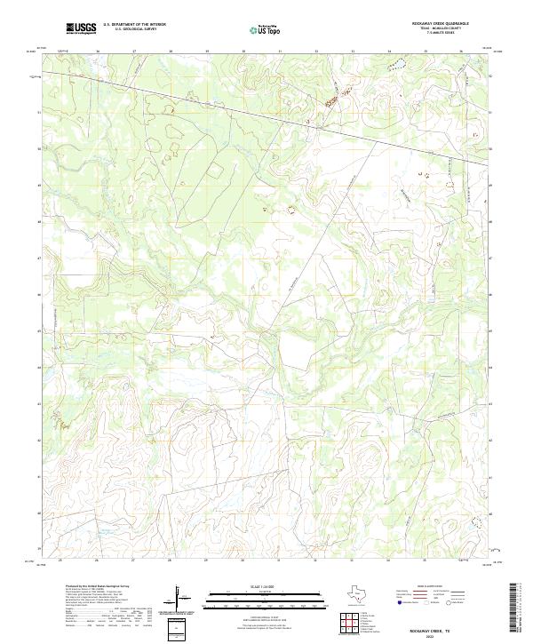
1969 Rockaway Creek
McMullen County, TX
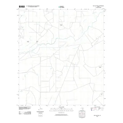
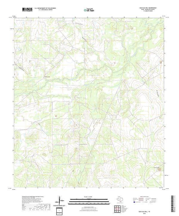
1969 San Caja Hill
McMullen County, TX
2010 Calliham NW
McMullen County, TX
2010 Clegg SW
McMullen County, TX
2010 Cross
McMullen County, TX

2010 Crowther
McMullen County, TX
2010 Fitzpatrick Hollow
McMullen County, TX
2010 La Chusa Hill
McMullen County, TX
2010 Loma Alta
McMullen County, TX
2010 Loma Alta NE
McMullen County, TX
2010 Loma Alta NW
McMullen County, TX
2010 Mirasol Creek
McMullen County, TX
2010 Mule Creek
McMullen County, TX
2010 Pertle Creek
McMullen County, TX
2010 Rockaway Creek
McMullen County, TX
2010 San Caja Hill
McMullen County, TX
2012 Clegg SW
McMullen County, TX
2012 La Chusa Hill
McMullen County, TX
2012 Loma Alta NW
McMullen County, TX
2012 Mirasol Creek
McMullen County, TX
2012 Rockaway Creek
McMullen County, TX
2013 Calliham NW
McMullen County, TX
2013 Cross
McMullen County, TX
2013 Crowther
McMullen County, TX
2013 Fitzpatrick Hollow
McMullen County, TX
2013 Loma Alta
McMullen County, TX
2013 Loma Alta NE
McMullen County, TX
2013 Mule Creek
McMullen County, TX
2013 Pertle Creek
McMullen County, TX
2013 San Caja Hill
McMullen County, TX
2016 Calliham NW
McMullen County, TX
2016 Clegg SW
McMullen County, TX
2016 Cross
McMullen County, TX
2016 Crowther
McMullen County, TX
2016 Fitzpatrick Hollow
McMullen County, TX
2016 La Chusa Hill
McMullen County, TX
2016 Loma Alta
McMullen County, TX
2016 Loma Alta NE
McMullen County, TX
2016 Loma Alta NW
McMullen County, TX
2016 Mirasol Creek
McMullen County, TX
2016 Mule Creek
McMullen County, TX
2016 Pertle Creek
McMullen County, TX
2016 Rockaway Creek
McMullen County, TX
2016 San Caja Hill
McMullen County, TX
2019 Calliham NW
McMullen County, TX
2019 Clegg SW
McMullen County, TX
2019 Cross
McMullen County, TX
2019 Crowther
McMullen County, TX
2019 Fitzpatrick Hollow
McMullen County, TX
2019 La Chusa Hill
McMullen County, TX
2019 Loma Alta
McMullen County, TX
2019 Loma Alta NE
McMullen County, TX
2019 Loma Alta NW
McMullen County, TX
2019 Mirasol Creek
McMullen County, TX
2019 Mule Creek
McMullen County, TX
2019 Pertle Creek
McMullen County, TX
2019 Rockaway Creek
McMullen County, TX
2019 San Caja Hill
McMullen County, TX
2022 Calliham NW
McMullen County, TX
2022 Clegg SW
McMullen County, TX
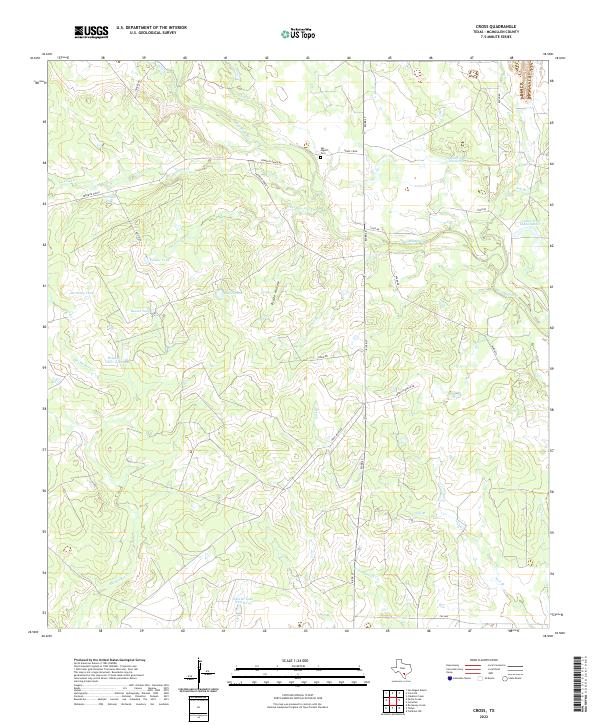
2022 Cross
McMullen County, TX
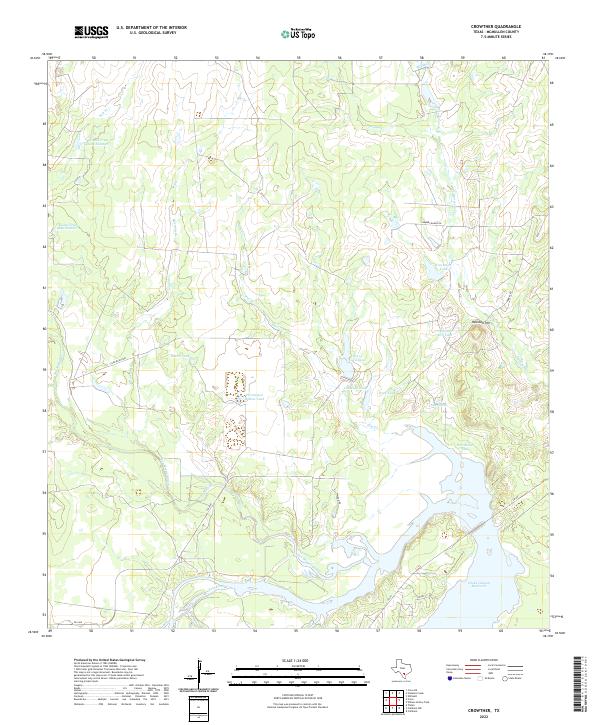
2022 Crowther
McMullen County, TX
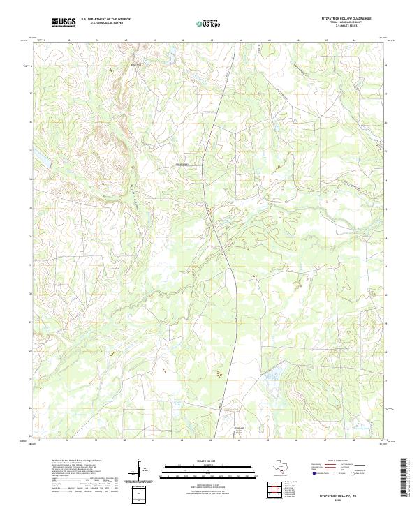
2022 Fitzpatrick Hollow
McMullen County, TX
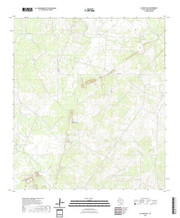
2022 La Chusa Hill
McMullen County, TX
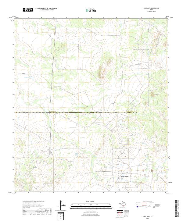
2022 Loma Alta
McMullen County, TX
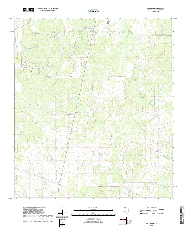
2022 Loma Alta NE
McMullen County, TX
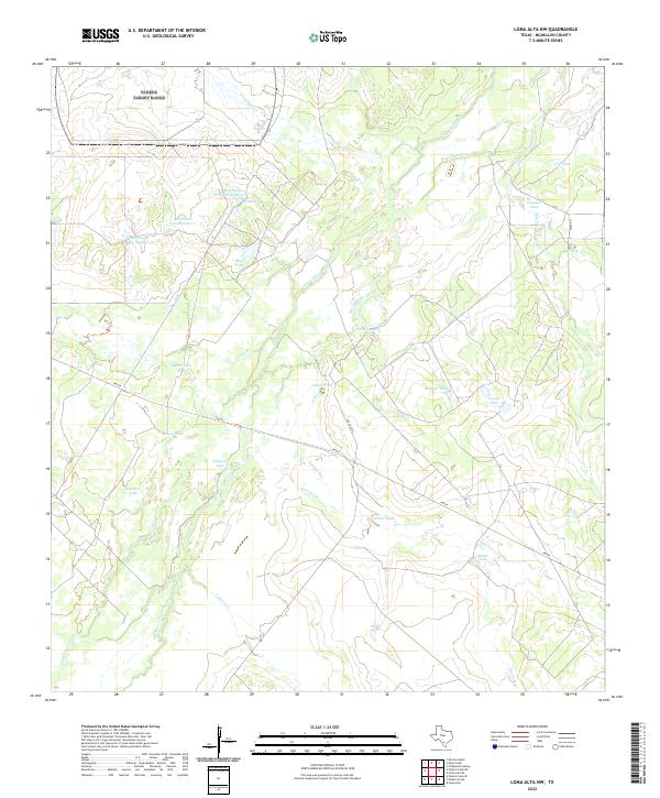
2022 Loma Alta NW
McMullen County, TX
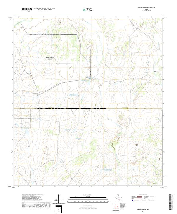
2022 Mirasol Creek
McMullen County, TX
2022 Mule Creek
McMullen County, TX
2022 Pertle Creek
McMullen County, TX
2022 Rockaway Creek
McMullen County, TX
2022 San Caja Hill
McMullen County, TX