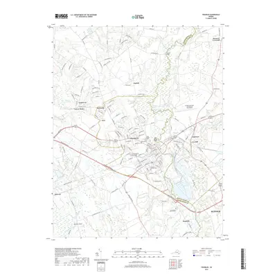
2019 Map of Franklin
USGS Topo · Published 2019About this map
The Blackwater River snakes through the heart of this coastal plain landscape, defining the boundary between Southampton and Isle of Wight counties. The city of Franklin serves as the central hub, characterized by a dense street grid that transitions into residential developments like Cypress Manor and Hunterdale. This area reflects a modern balance of education and infrastructure, anchored by the Paul D Camp Community College and the Franklin Municipal-John Beverly Rose Airport.
Find a feature on this map
137 named features on this map. Tap any name to fly to it.
Don’t see what you’re looking for? This feature index may not catch every label — zoom into the map to look around manually.
Map Details
Editions of this 2019 Franklin Map
This is the sole edition of this map. No revisions or reprints were ever made.
Other maps of this area

1919 · Homeville
USGS Topo · 1:48,000

1919 · Boykins
USGS Topo · 1:48,000

1920 · Holland
USGS Topo · 1:62,500

1920 · Ivor
USGS Topo · 1:62,500

1920 · Homeville
USGS Topo · 1:62,500

1920 · Boykins
USGS Topo · 1:62,500

1943 · Holland
USGS Topo · 1:62,500

1943 · Vicksville
USGS Topo · 1:31,680

1944 · Sedley
USGS Topo · 1:24,000

1944 · Zuni
USGS Topo · 1:24,000