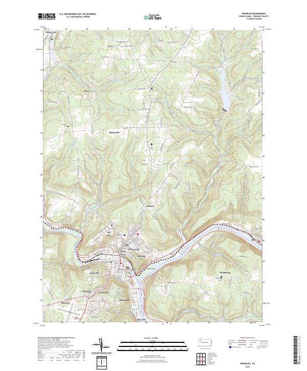
2023 Map of Franklin
USGS Topo · Published 2023About this map
Franklin serves as the hub of this Venango County landscape, situated at the confluence where French Creek meets the Allegheny River. The topography is defined by sharp elevation changes, where several named neighborhoods like Gurney Hill, Galena Hill, and Oak Hill rise above the river flats. This 2023 survey illustrates the enduring municipal core around the Venango County Courthouse and the extensive recreational network now following the water, including the Samuel Justus Recreation Trl and the Middle Allegheny River Water Trl.
Find a feature on this map
138 named features on this map. Tap any name to fly to it.
Don’t see what you’re looking for? This feature index may not catch every label — zoom into the map to look around manually.
Map Details
Editions of this 2023 Franklin Map
This is the sole edition of this map. No revisions or reprints were ever made.
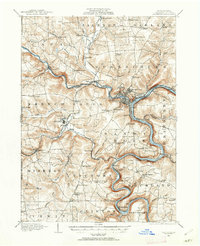
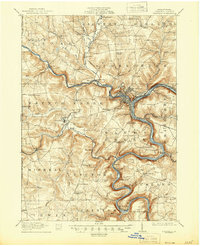
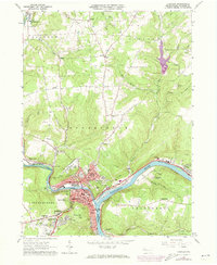
Historical Maps of Uniontown Through Time
4 maps found