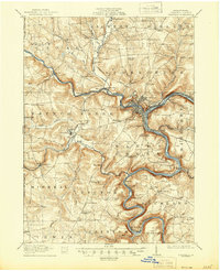
1911 Map of Franklin
USGS Topo · Published 1944About this map
The confluence of French Creek and the Allegheny River anchors this 1909 survey, depicting Franklin as a significant regional hub for transportation and industry. The landscape is deeply carved by watercourses, with the Erie R.R. and the Lake Shore and Michigan Southern R.R. following the winding river valleys. Notable landmarks include the sprawling State Institute for Feeble Minded near Polk, and several small rural centers like Utica, Raymilton, and Kennerdell.
Find a feature on this map
83 named features on this map. Tap any name to fly to it.
Don’t see what you’re looking for? This feature index may not catch every label — zoom into the map to look around manually.
Map Details
Editions of this 1911 Franklin Map
4 editions found
Other maps of this area

1907 · Foxburg
USGS Topo · 1:62,500

1908 · Foxburg
USGS Topo · 1:62,500

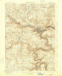
1909 · Franklin
USGS Topo · 1:62,500

1910 · Hilliards
USGS Topo · 1:62,500

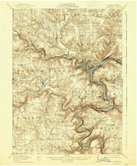
1911 · Franklin
USGS Topo · 1:62,500

1911 · Stoneboro
USGS Topo · 1:62,500

1912 · Hilliards
USGS Topo · 1:62,500

1913 · Stoneboro
USGS Topo · 1:62,500

1913 · Mercer
USGS Topo · 1:62,500

1922 · Oil City
USGS Topo · 1:48,000