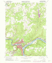
1963 Map of Franklin
USGS Topo · Published 1973About this map
The confluence of the French River and the Allegheny River anchors this 1963 survey of the Venango County area, capturing a landscape defined by heavy industry and early 20th-century transportation networks. The city of Franklin serves as the focal point, showing a developed street grid with City Hall and several parish centers like St Johns Ch. The industrial character of the valley is evident in the sprawling oil field and gas and oil field markings that dot the surrounding highlands, particularly near Galloway and Reno. Transportation history is preserved through the presence of competing rail lines, including the Penn Central and Erie-Lackawanna, which follow the river bends. Notable landmarks such as the Chess-Lamberton Airport near Mapledale and the heights of Point Hill provide geographical context to this transition era in western Pennsylvania.
Find a feature on this map
58 named features on this map. Tap any name to fly to it.
Don’t see what you’re looking for? This feature index may not catch every label — zoom into the map to look around manually.
Map Details
Editions of this 1963 Franklin Map
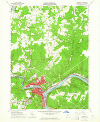
2 editions found
Other maps of this area

1909 · Franklin
USGS Topo · 1:62,500

1911 · Franklin
USGS Topo · 1:62,500

1922 · Oil City
USGS Topo · 1:48,000

1924 · Oil City
USGS Topo · 1:62,500

1927 · Townville
USGS Topo · 1:48,000

1927 · Titusville
USGS Topo · 1:62,500

1932 · Townville
USGS Topo · 1:62,500

1933 · Titusville
USGS Topo · 1:62,500

1943 · Oil City
USGS Topo · 1:62,500

1945 · Townville
USGS Topo · 1:62,500