
1927 Map of Titusville
USGS Topo · Published 1958About this map
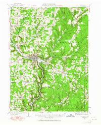
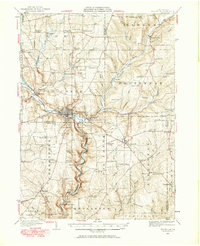
The Drake Oil Well stands as a central historical landmark in this region, marking the industrial heritage of the Oil Creek valley during the late 1920s. Centered on Titusville, the landscape is a dense network of early petroleum infrastructure and rural community centers, featuring numerous pumping stations and the recreational Fieldmore Park. The transportation corridor is dominated by the Pennsylvania RR and the Central New York and Western RR, which connect scattered settlements like Grand Valley, Pleasantville, and Hydetown.
Find a feature on this map
111 named features on this map. Tap any name to fly to it.
Don’t see what you’re looking for? This feature index may not catch every label — zoom into the map to look around manually.
Map Details
Editions of this 1927 Titusville Map
Other maps of this area

1909 · Franklin
USGS Topo · 1:62,500

1911 · Franklin
USGS Topo · 1:62,500

1922 · Oil City
USGS Topo · 1:48,000

1922 · Tionesta
USGS Topo · 1:62,500

1924 · Oil City
USGS Topo · 1:62,500

1924 · Tionesta
USGS Topo · 1:62,500

1926 · Youngsville
USGS Topo · 1:62,500

1927 · Townville
USGS Topo · 1:48,000

1927 · Tidioute
USGS Topo · 1:48,000

1929 · Corry
USGS Topo · 1:48,000