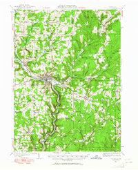
1927 Map of Titusville
USGS Topo · Published 1965About this map
The birthplace of the American petroleum industry is documented here, centered on the Drake Oil Well south of Titusville. The landscape follows the winding path of Oil Creek and Cherrytree Creek, where the valley floors are marked by early industrial infrastructure including a Pipe Line, the Pine Creek Pumping Sta, and another Pumping Sta near Jerusalem Corners. This survey captures the dense network of small rural settlements and namesake farms like Columbia Farm and Miller Farm that flourished during the regional oil boom.
Find a feature on this map
103 named features on this map. Tap any name to fly to it.
Don’t see what you’re looking for? This feature index may not catch every label — zoom into the map to look around manually.
Map Details
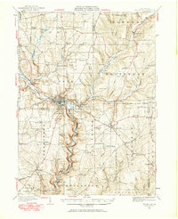
Editions of this 1927 Titusville Map
Other maps of this area

1909 · Franklin
USGS Topo · 1:62,500

1911 · Franklin
USGS Topo · 1:62,500

1922 · Oil City
USGS Topo · 1:48,000

1922 · Tionesta
USGS Topo · 1:62,500

1924 · Oil City
USGS Topo · 1:62,500

1924 · Tionesta
USGS Topo · 1:62,500

1926 · Youngsville
USGS Topo · 1:62,500

1927 · Townville
USGS Topo · 1:48,000

1927 · Tidioute
USGS Topo · 1:48,000

1927 · Titusville
USGS Topo · 1:62,500