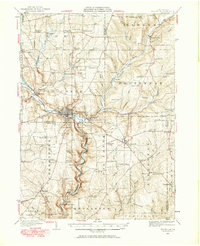
1927 Map of Titusville
USGS Topo · Published 1965About this map
Titusville serves as the industrial heart of this landscape, situated at the confluence of Oil Creek and Pine Creek. The region's defining petroleum history is anchored by the historic Drake Oil Well just south of town, marking the birthplace of the modern oil industry. The map captures an era when specialized infrastructure supported this extraction, including the Pine Creek Pumping Sta and numerous pipe lines threading through the surrounding townships. Beyond the refineries and wells, the social fabric of northwestern Pennsylvania is visible through a dense network of country schools such as Cattaraugus Sch and Fink Ridge Sch. Small rural hubs like Hydetown, Pleasantville, and Grand Valley are connected by the New York Central railroad, illustrating how the rail-and-river economy maintained these settlements between the wooded hollows of Crawford and Venango counties.
Find a feature on this map
114 named features on this map. Tap any name to fly to it.
Don’t see what you’re looking for? This feature index may not catch every label — zoom into the map to look around manually.
Map Details
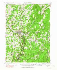
Editions of this 1927 Titusville Map
Other maps of this area

1909 · Franklin
USGS Topo · 1:62,500

1911 · Franklin
USGS Topo · 1:62,500

1922 · Oil City
USGS Topo · 1:48,000

1922 · Tionesta
USGS Topo · 1:62,500

1924 · Oil City
USGS Topo · 1:62,500

1924 · Tionesta
USGS Topo · 1:62,500

1926 · Youngsville
USGS Topo · 1:62,500

1927 · Townville
USGS Topo · 1:48,000

1927 · Tidioute
USGS Topo · 1:48,000

1927 · Titusville
USGS Topo · 1:62,500