
1927 Map of Tidioute
USGS Topo · Published 1927About this map
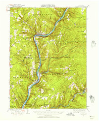
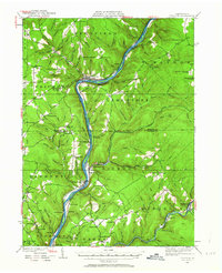
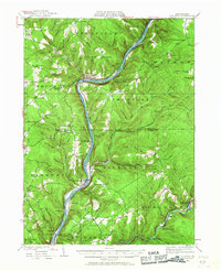
The Allegheny River carves a deep path through this 1920s landscape, serving as the central artery for the region's industrial and residential development. Along its banks, the Pennsylvania RR connects river towns such as Tidioute, Trunkeyville, and West Hickory, while high ridges like Morrison Hill and Fleming Hill loom above the valley. This era reveals a dense network of rural infrastructure, from the Queen Pumping Station and the Wheeler Fire Tower to the notable County Home near Sibold. The map's detail is particularly valuable for genealogical research, as it documents an incredible density of small schoolhouses, including the Sutton Hill Sch, McGraw Sch, and Pigeon Hill Sch, alongside local landmarks like Church Hill Ch and Town Line Ch. The rugged borders of the Allegheny National Forest define the eastern reaches, where numerous runs and hollows feed into the main river system.
Find a feature on this map
112 named features on this map. Tap any name to fly to it.
Don’t see what you’re looking for? This feature index may not catch every label — zoom into the map to look around manually.
Map Details
Editions of this 1927 Tidioute Map
4 editions found
Other maps of this area

1906 · Warren
USGS Topo · 1:62,500

1907 · Warren
USGS Topo · 1:62,500

1908 · Warren
USGS Topo · 1:62,500

1918 · Loleta
USGS Topo · 1:62,500

1922 · Oil City
USGS Topo · 1:48,000

1922 · Tionesta
USGS Topo · 1:62,500

1924 · Oil City
USGS Topo · 1:62,500

1924 · Tionesta
USGS Topo · 1:62,500

1926 · Youngsville
USGS Topo · 1:62,500

1927 · Titusville
USGS Topo · 1:62,500