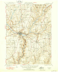
1933 Map of Titusville
USGS Topo · Published 1950About this map
Oil Creek carves a deep valley through this Pennsylvania landscape, serving as the industrial artery for the region's historic petroleum production. Centered on Titusville, the map highlights the site of the Drake Oil Well, marking the birthplace of the modern oil industry. The surrounding countryside is a dense network of small settlements and family-named corners such as McLaughlin Corners and Rendalls Corners, reflecting the rapid development that followed the 1859 oil strike.
Find a feature on this map
122 named features on this map. Tap any name to fly to it.
Don’t see what you’re looking for? This feature index may not catch every label — zoom into the map to look around manually.
Map Details
Editions of this 1933 Titusville Map
3 editions found

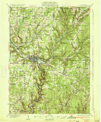
Other maps of this area

1909 · Franklin
USGS Topo · 1:62,500

1911 · Franklin
USGS Topo · 1:62,500

1922 · Oil City
USGS Topo · 1:48,000

1922 · Tionesta
USGS Topo · 1:62,500

1924 · Oil City
USGS Topo · 1:62,500

1924 · Tionesta
USGS Topo · 1:62,500

1926 · Youngsville
USGS Topo · 1:62,500

1927 · Townville
USGS Topo · 1:48,000

1927 · Tidioute
USGS Topo · 1:48,000

1927 · Titusville
USGS Topo · 1:62,500