
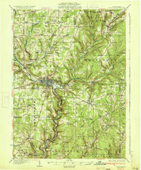
1933 Map of Titusville
USGS Topo · Published 1933About this map
Titusville serves as the industrial hub of this 1930s landscape, situated at the confluence of several early petroleum and transport corridors. The map documents a region deeply shaped by the oil industry, most notably featuring the Drake Oil Well south of town along the banks of Oil Creek. This waterway, flanked by the Pennsylvania RR, remains the primary artery through the valley, while the surrounding uplands are dotted with numerous small country schools like Hummer Sch and Redfield Sch, reflecting a dense rural population typical of Pennsylvania's northwestern counties at the time.
Find a feature on this map
108 named features on this map. Tap any name to fly to it.
Don’t see what you’re looking for? This feature index may not catch every label — zoom into the map to look around manually.
Map Details
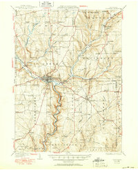
Editions of this 1933 Titusville Map
3 editions found
Other maps of this area

1909 · Franklin
USGS Topo · 1:62,500

1911 · Franklin
USGS Topo · 1:62,500

1922 · Oil City
USGS Topo · 1:48,000

1922 · Tionesta
USGS Topo · 1:62,500

1924 · Oil City
USGS Topo · 1:62,500

1924 · Tionesta
USGS Topo · 1:62,500

1926 · Youngsville
USGS Topo · 1:62,500

1927 · Townville
USGS Topo · 1:48,000

1927 · Tidioute
USGS Topo · 1:48,000

1927 · Titusville
USGS Topo · 1:62,500