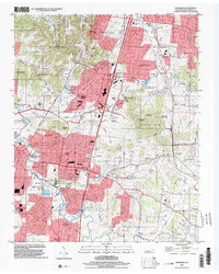
2022 Map of Franklin
USGS Topo · Published 2022About this map
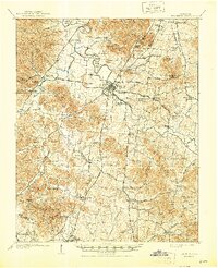
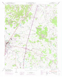
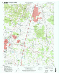
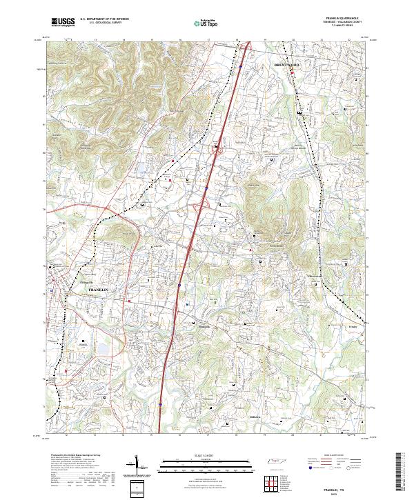
Franklin and Brentwood anchor this survey of Williamson County, showcasing a landscape defined by its Civil War heritage and deep historical roots. The presence of the McGavock Confederate Cem and the ancient Boiling Springs Mounds near Boiling Springs highlights the layers of occupation in the Harpeth River valley. Numerous family burial grounds, such as Primm Cem, Mallory Cem, and Parrish Cem, are scattered across the terrain from Sweeney Hollow to Holly Tree Gap. Suburban expansion is evident alongside the preservation of institutional landmarks like Williamson College and the O'More College of Design. The map traces the hydrological network of Spencer Creek and Little Harpeth River, providing a detailed view of the area's transition into the modern era.
Find a feature on this map
85 named features on this map. Tap any name to fly to it.
Don’t see what you’re looking for? This feature index may not catch every label — zoom into the map to look around manually.
Map Details
Editions of this 2022 Franklin Map
This is the sole edition of this map. No revisions or reprints were ever made.
Historical Maps of Oakleaf Estates Through Time
5 maps found