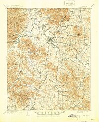
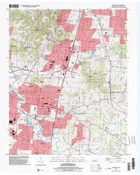
1909 Map of Franklin
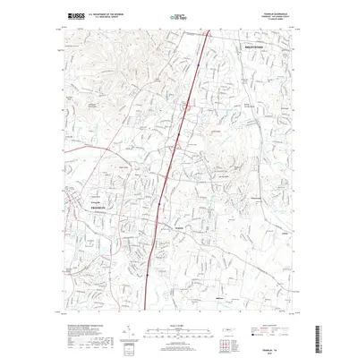
USGS Topo · Published 1944About this map
The Harpeth River meanders through the heart of Williamson County, where the historic town of Franklin serves as a central hub for a network of radiating pikes. Surveyed shortly after the turn of the century, this landscape preserves the legacy of the Civil War at the Conferderate Cemetery and reveals a rural economy dependent on the Louisville and Nashville RR. Small settlements like Leipers Fork and Thompsons Station anchor the surrounding hills, connected by historic routes including the Natchez Trace. Educational and social life is marked by numerous country churches such as Berrys Chapel and McEwen Church, alongside early schools like Boiling Spring Academy. The map captures a transition where traditional landmarks like Beech Tavern and Shorts Mill still defined the geography before modern highway expansion altered the original pike routes.
Find a feature on this map
117 named features on this map. Tap any name to fly to it.
Don’t see what you’re looking for? This feature index may not catch every label — zoom into the map to look around manually.
Map Details
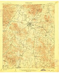
Editions of this 1909 Franklin Map
2 editions found
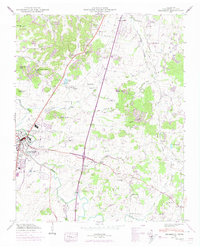
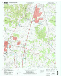
Historical Maps of Franklin Through Time
9 maps found
1909 Franklin
Williamson County, TN
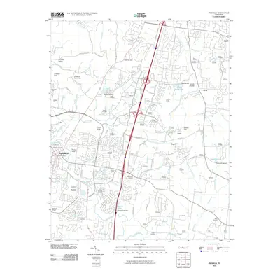
1949 Franklin
Williamson County, TN
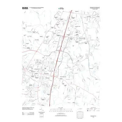
1981 Franklin
Williamson County, TN
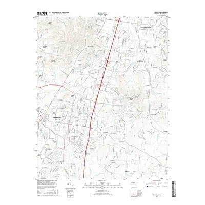
1997 Franklin
Williamson County, TN
2010 Franklin
Williamson County, TN
2013 Franklin
Williamson County, TN
2016 Franklin
Williamson County, TN
2019 Franklin
Williamson County, TN
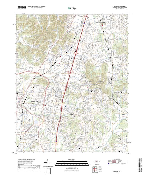
2022 Franklin
Williamson County, TN