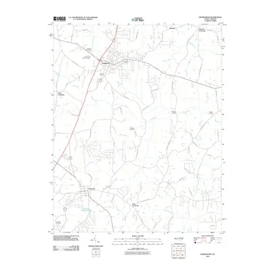
2010 Map of Franklinton
USGS Topo · Published 2010About this map
Franklinton and Youngsville anchor this 2010 topographic record of northern Wake County and southern Franklin County. The landscape is defined by its transition from small-town centers to a network of crossroads settlements and rural infrastructure. Longstanding community landmarks like Fair View Cemetery and Evergreen Cemetery lie near the heart of Franklinton, while the outlying areas are dotted with named junctions such as Popes Crossroads, Mitchiners Crossroads, and Mays Crossroads.
Find a feature on this map
66 named features on this map. Tap any name to fly to it.
Don’t see what you’re looking for? This feature index may not catch every label — zoom into the map to look around manually.
Map Details
Editions of this 2010 Franklinton Map
This is the sole edition of this map. No revisions or reprints were ever made.
Other maps of this area

1943 · Raleigh
USGS Topo · 1:62,500

1943 · Creedmoor
USGS Topo · 1:62,500

1944 · Creedmoor
USGS Topo · 1:62,500

1951 · Raleigh
USGS Topo · 1:62,500

1953 · Raleigh
USGS Topo · 1:250,000

1953 · Greensboro
USGS Topo · 1:250,000

1954 · Greensboro
USGS Topo · 1:250,000

1954 · Raleigh
USGS Topo · 1:250,000

1962 · Greensboro
USGS Topo · 1:250,000

1966 · Greensboro
USGS Topo · 1:250,000