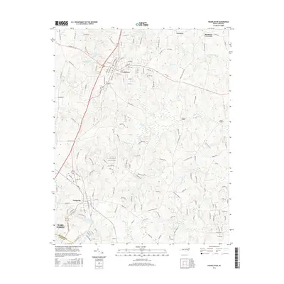
2016 Map of Franklinton
USGS Topo · Published 2016About this map
The town of Franklinton sits at the heart of this survey, serving as a hub for local transportation and community life. The CSX railroad corridor bisects the town, paralleled by a dense network of streets such as N Main St and Hillsborough St. Cultural landmarks include Fair View Cem and Evergreen Cem, while water management is highlighted by the Franklinton Reservoir and its companion, Franklinton Reservoir Number Two.
Find a feature on this map
162 named features on this map. Tap any name to fly to it.
Don’t see what you’re looking for? This feature index may not catch every label — zoom into the map to look around manually.
Map Details
Editions of this 2016 Franklinton Map
This is the sole edition of this map. No revisions or reprints were ever made.
Other maps of this area

1943 · Raleigh
USGS Topo · 1:62,500

1943 · Creedmoor
USGS Topo · 1:62,500

1944 · Creedmoor
USGS Topo · 1:62,500

1951 · Raleigh
USGS Topo · 1:62,500

1953 · Raleigh
USGS Topo · 1:250,000

1953 · Greensboro
USGS Topo · 1:250,000

1954 · Greensboro
USGS Topo · 1:250,000

1954 · Raleigh
USGS Topo · 1:250,000

1962 · Greensboro
USGS Topo · 1:250,000

1966 · Greensboro
USGS Topo · 1:250,000