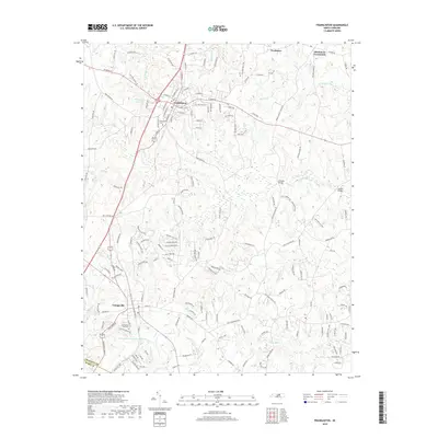
2019 Map of Franklinton
USGS Topo · Published 2019About this map
Franklinton and Youngsville serve as the primary anchors for this 2019 survey of the North Carolina Piedmont. The landscape is defined by the headwaters of several notable drainage systems, including the Little River and Buffalo Creek, which carve through the undulating terrain of the Franklin and Wake county border. This map illustrates the intersection of established town centers and contemporary suburban expansion, evidenced by the intricate network of new residential roads such as Gilcrest Farm Road and Laurel Oaks Drive. Local history is preserved in the location of Evergreen Cem and Fair View Cem, while smaller outlying settlements like Needmore and Mitchiners Crossroads reflect the region's rural crossroads heritage. Large water features like the Franklinton Reservoir and Willowhaven Lake Number Two highlight the infrastructure managing the area's growth.
Find a feature on this map
165 named features on this map. Tap any name to fly to it.
Don’t see what you’re looking for? This feature index may not catch every label — zoom into the map to look around manually.
Map Details
Editions of this 2019 Franklinton Map
This is the sole edition of this map. No revisions or reprints were ever made.
Other maps of this area

1943 · Raleigh
USGS Topo · 1:62,500

1943 · Creedmoor
USGS Topo · 1:62,500

1944 · Creedmoor
USGS Topo · 1:62,500

1951 · Raleigh
USGS Topo · 1:62,500

1953 · Raleigh
USGS Topo · 1:250,000

1953 · Greensboro
USGS Topo · 1:250,000

1954 · Greensboro
USGS Topo · 1:250,000

1954 · Raleigh
USGS Topo · 1:250,000

1962 · Greensboro
USGS Topo · 1:250,000

1966 · Greensboro
USGS Topo · 1:250,000