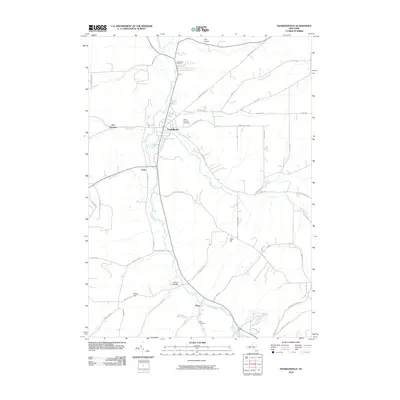
2010 Map of Franklinville
USGS Topo · Published 2010About this map
Franklinville serves as the central hub of this Western New York landscape, situated where Ischua Creek meets several mountain runs. The settlement pattern follows the valley floors, with the village of Cadiz and the hamlet of Ischua Valley tracing the southern course of the creek. Local genealogy is well-preserved through family-named landmarks and resting places such as Ten Broeck Cemetery and Mount Prospect Cemetery.
Find a feature on this map
50 named features on this map. Tap any name to fly to it.
Don’t see what you’re looking for? This feature index may not catch every label — zoom into the map to look around manually.
Map Details
Editions of this 2010 Franklinville Map
This is the sole edition of this map. No revisions or reprints were ever made.
Other maps of this area

1898 · Olean
USGS Topo · 1:62,500

1900 · Salamanca
USGS Topo · 1:62,500

1924 · Ellicottville
USGS Topo · 1:62,500

1924 · Franklinville
USGS Topo · 1:62,500

1938 · Salamanca
USGS Topo · 1:62,500

1938 · Olean
USGS Topo · 1:62,500

1941 · Ellicottville
USGS Topo · 1:62,500

1942 · Franklinville
USGS Topo · 1:62,500

1943 · Olean
USGS Topo · 1:62,500

1943 · Salamanca
USGS Topo · 1:62,500