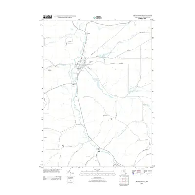
2013 Map of Franklinville
USGS Topo · Published 2013About this map
Franklinville serves as the central hub of this Cattaraugus County landscape, situated where the waters of Ischua Cr meet several tributaries including Saunders Cr and Bear Cr. The settlement pattern follows the Ischua Valley, with smaller hamlets like Cadiz and Fitch established along the primary corridors. This 2013 survey illustrates a community deeply connected to its geography, with numerous family and historical burial sites such as Ten Broeck Cem and Mt Prospect Cem dotting the valley floor. The terrain is defined by prominent elevations like Pierce Hill and East Hill, while the passage known as The Narrows highlights the restricted movement between the ridgelines. Local transport is represented by a network of rural roads, including Hardy Corners Rd and Kingsbury Hill Rd, which connect outlying farms and homesteads to the village core.
Find a feature on this map
86 named features on this map. Tap any name to fly to it.
Don’t see what you’re looking for? This feature index may not catch every label — zoom into the map to look around manually.
Map Details
Editions of this 2013 Franklinville Map
This is the sole edition of this map. No revisions or reprints were ever made.
Other maps of this area

1898 · Olean
USGS Topo · 1:62,500

1900 · Salamanca
USGS Topo · 1:62,500

1924 · Ellicottville
USGS Topo · 1:62,500

1924 · Franklinville
USGS Topo · 1:62,500

1938 · Salamanca
USGS Topo · 1:62,500

1938 · Olean
USGS Topo · 1:62,500

1941 · Ellicottville
USGS Topo · 1:62,500

1942 · Franklinville
USGS Topo · 1:62,500

1943 · Olean
USGS Topo · 1:62,500

1943 · Salamanca
USGS Topo · 1:62,500