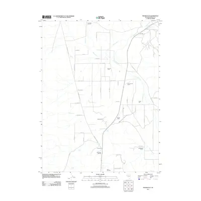
2011 Map of Fraser Flat
USGS Topo · Published 2011About this map
Hungry Valley and the surrounding high desert terrain define this corner of Nevada, where aviation and ranching intersect. The landscape is marked by unique landing sites including the Air Sailing Gliderport, Palomino Airport, and Rolling Thunder Airport, reflecting the region's importance for recreational and private flight. Water remains a critical element for the scattered homesteads, documented through names like Coyote Spring, Willow Spring, and Warm Springs.
Find a feature on this map
49 named features on this map. Tap any name to fly to it.
Don’t see what you’re looking for? This feature index may not catch every label — zoom into the map to look around manually.
Map Details
Editions of this 2011 Fraser Flat Map
This is the sole edition of this map. No revisions or reprints were ever made.
Other maps of this area

1891 · Reno
USGS Topo · 1:125,000

1893 · Reno
USGS Topo · 1:125,000

1950 · Reno
USGS Topo · 1:62,500

1951 · Reno
USGS Topo · 1:62,500

1957 · Sutcliffe
USGS Topo · 1:62,500

1957 · Dogskin Mountain
USGS Topo · 1:62,500

1957 · Spanish Springs Valley
USGS Topo · 1:62,500

1957 · Reno
USGS Topo · 1:250,000

1959 · Reno
USGS Topo · 1:250,000

1960 · Reno
USGS Topo · 1:250,000