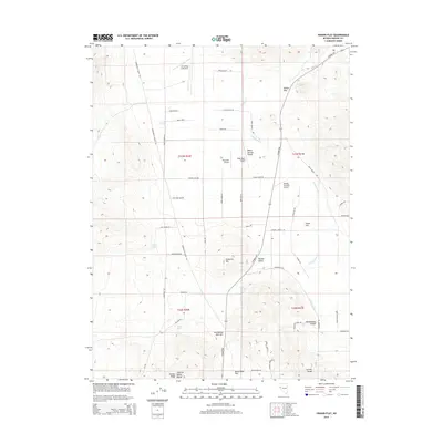
2014 Map of Fraser Flat
USGS Topo · Published 2014About this map
Air Sailing Gliderport and several private airstrips like Palomino Airport and Rolling Thunder Airport define the high-desert aviation character of this Nevada landscape. Situated north of the Reno-Sparks metropolitan area, the terrain is shaped by the transition between the Warm Springs Valley and Hungry Valley. Prominent geographic markers include Kimberly Hill and Twentyone Mile Hill, which rise above the desert floor alongside drainages like Mullen Cr and Cottonwood Cr. Local naming traditions are evident in the colorful road and landmark labels, such as Rebel Cause Rd, Jackrabbit Rd, and the Bacon Rind House near Bacon Rind Flat. The map documents a sparsely populated region where ranching legacies and private aviation runways meet the foothills of the Curnow Range.
Find a feature on this map
57 named features on this map. Tap any name to fly to it.
Don’t see what you’re looking for? This feature index may not catch every label — zoom into the map to look around manually.
Map Details
Editions of this 2014 Fraser Flat Map
This is the sole edition of this map. No revisions or reprints were ever made.
Other maps of this area

1891 · Reno
USGS Topo · 1:125,000

1893 · Reno
USGS Topo · 1:125,000

1950 · Reno
USGS Topo · 1:62,500

1951 · Reno
USGS Topo · 1:62,500

1957 · Sutcliffe
USGS Topo · 1:62,500

1957 · Dogskin Mountain
USGS Topo · 1:62,500

1957 · Spanish Springs Valley
USGS Topo · 1:62,500

1957 · Reno
USGS Topo · 1:250,000

1959 · Reno
USGS Topo · 1:250,000

1960 · Reno
USGS Topo · 1:250,000