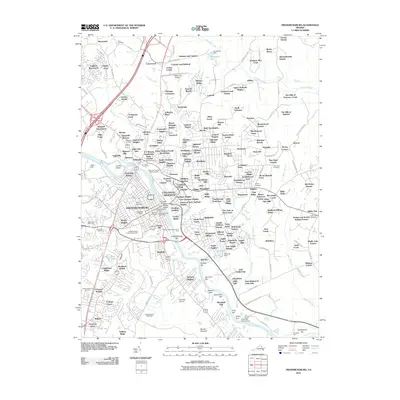
2010 Map of Fredericksburg
USGS Topo · Published 2010About this map
The Rappahannock River serves as the central artery for this 2010 depiction of Fredericksburg, Virginia, separating the historic city core from the expanding residential developments of Stafford County. The landscape is profoundly shaped by its Civil War legacy, with the Fredericksburg Battlefield and Fredericksburg National Cemetery preserved alongside the Confederate Cemetery. This intersection of history and modern utility is evident in the proximity of colonial-era sites like George Washingtons Ferry Farm to active infrastructure such as Leeland Station and Shannon Airport. The river itself is dotted with named bars and islands, including Pollock Bar and Laucks Island, while the surrounding terrain is a dense network of suburban subdivisions like Blaisdell Subdivision and England Run North that wrap around traditional landmarks like the Falmouth Post Office.
Find a feature on this map
218 named features on this map. Tap any name to fly to it.
Don’t see what you’re looking for? This feature index may not catch every label — zoom into the map to look around manually.
Map Details
Editions of this 2010 Fredericksburg Map
This is the sole edition of this map. No revisions or reprints were ever made.
Other maps of this area

1887 · Spottsylvania
USGS Topo · 1:125,000

1889 · Fredericksburg
USGS Topo · 1:125,000

1892 · Fredericksburg
USGS Topo · 1:125,000

1892 · Spottsylvania
USGS Topo · 1:125,000

1894 · Fredericksburg
USGS Topo · 1:125,000

1926 · Stafford
USGS Topo · 1:62,500

1931 · Stafford
USGS Topo · 1:62,500

1942 · Guinea
USGS Topo · 1:31,680

1942 · Spotsylania
USGS Topo · 1:31,680

1942 · Rappahannock Academy
USGS Topo · 1:31,680