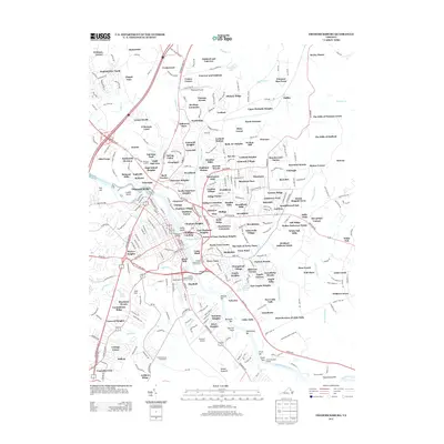
2013 Map of Fredericksburg
USGS Topo · Published 2013About this map
Fredericksburg Battlefield and the winding Rappahannock River define the historic core of this Virginia landscape. The river is a central artery, dotted with features like Laucks Island and Scotts Island, while modern aviation is represented at Shannon Airport and the Dogwood Airpark to the north. Residential developments like Heritage Commons and Victoria Woods sit alongside the expansive Potomac Run Farm, illustrating the transition from agricultural tracts to suburban neighborhoods.
Find a feature on this map
317 named features on this map. Tap any name to fly to it.
Don’t see what you’re looking for? This feature index may not catch every label — zoom into the map to look around manually.
Map Details
Editions of this 2013 Fredericksburg Map
This is the sole edition of this map. No revisions or reprints were ever made.
Other maps of this area

1887 · Spottsylvania
USGS Topo · 1:125,000

1889 · Fredericksburg
USGS Topo · 1:125,000

1892 · Fredericksburg
USGS Topo · 1:125,000

1892 · Spottsylvania
USGS Topo · 1:125,000

1894 · Fredericksburg
USGS Topo · 1:125,000

1926 · Stafford
USGS Topo · 1:62,500

1931 · Stafford
USGS Topo · 1:62,500

1942 · Guinea
USGS Topo · 1:31,680

1942 · Spotsylania
USGS Topo · 1:31,680

1942 · Rappahannock Academy
USGS Topo · 1:31,680