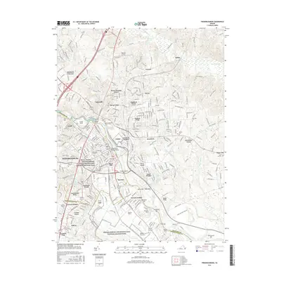
2016 Map of Fredericksburg
USGS Topo · Published 2016About this map
The Rappahannock River carves through the center of this landscape, separating the historic core of Fredericksburg from the heights of Stafford County. This 2016 survey illustrates the deep integration of military history within the modern suburban and educational fabric, most notably through the Fredericksburg and Spotsylvania National Military Park and its various units at Maryes Heights and Chatham Heights. Local heritage is anchored by significant sites like Ferry Farm, the boyhood home of George Washington, and the University of Mary Washington. The map details numerous commemorative and sacred spaces, from the Confederate Cem and Masonic Cem to the Meade Pyramid near the CSX Transportation line. Riverside features such as Laucks Island and the Fredericksburg Bar highlight the river's navigational and geographic influence on the city's development.
Find a feature on this map
82 named features on this map. Tap any name to fly to it.
Don’t see what you’re looking for? This feature index may not catch every label — zoom into the map to look around manually.
Map Details
Editions of this 2016 Fredericksburg Map
This is the sole edition of this map. No revisions or reprints were ever made.
Other maps of this area

1887 · Spottsylvania
USGS Topo · 1:125,000

1889 · Fredericksburg
USGS Topo · 1:125,000

1892 · Fredericksburg
USGS Topo · 1:125,000

1892 · Spottsylvania
USGS Topo · 1:125,000

1894 · Fredericksburg
USGS Topo · 1:125,000

1926 · Stafford
USGS Topo · 1:62,500

1931 · Stafford
USGS Topo · 1:62,500

1942 · Guinea
USGS Topo · 1:31,680

1942 · Spotsylania
USGS Topo · 1:31,680

1942 · Rappahannock Academy
USGS Topo · 1:31,680