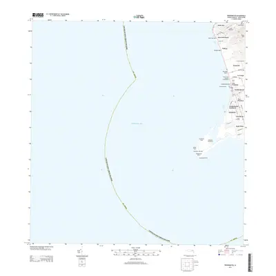
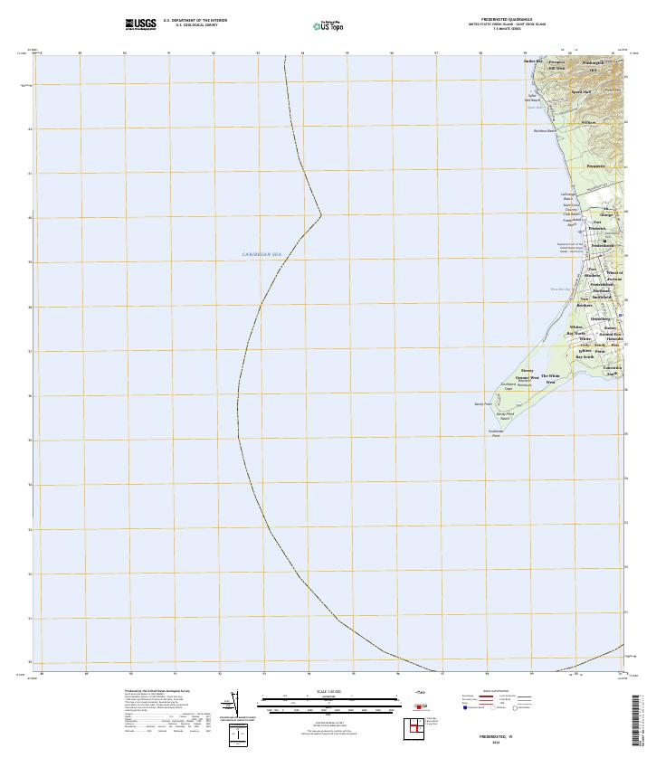
2013 Map of Frederiksted
USGS Topo · Published 2013About this map
Fort Frederick stands at the heart of the coastal town of Frederiksted, anchoring the shoreline of west St. Croix. This 2013 survey illustrates the dense network of residential estates and historic plantation lands that define the island's landscape, including La Grange, Prosperity, and Mount Washington. The settlement pattern follows a series of local connectors like La Grange Rd and Marys Hill Rd, leading from the low-lying coastal plains near Frederiksted Beach toward the higher elevations of Punch Peak. To the south, the island tapers into the Westend Peninsula, marked by the Southwest Cape Light and the environmental expanse of Sandy Point Beach. The map details a modern maritime environment where historic sites like Sprat Hall coexist with leisure destinations such as the Saint Croix Country Club Beach.
Find a feature on this map
43 named features on this map. Tap any name to fly to it.
Don’t see what you’re looking for? This feature index may not catch every label — zoom into the map to look around manually.
Map Details
Editions of this 2013 Frederiksted Map
This is the sole edition of this map. No revisions or reprints were ever made.
Other maps of this area
Featured Places
- William, Saint Croix District
- Butler Bay, Saint Croix District
- Frederiksted Southeast, Saint Croix District
- Mount Washington and Washington Hill, Saint Croix District
- Sprat Hall, Saint Croix District