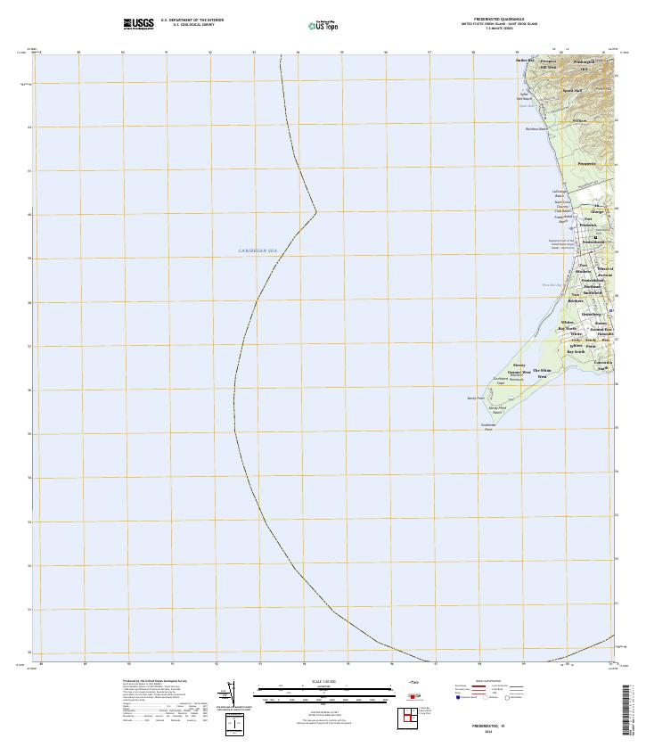
2024 Map of Frederiksted
USGS Topo · Published 2024About this map
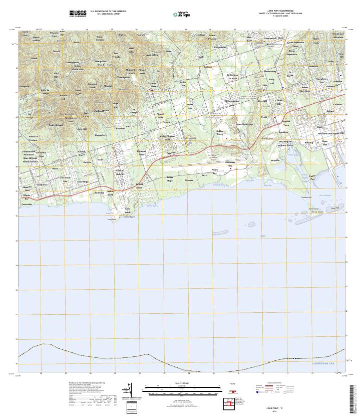
Fort Frederick stands as a primary landmark along the western coast of Saint Croix, anchoring the town of Frederiksted. This coastal landscape is defined by its transition from the urban grid near Strand St to the expansive conservation area at Sandy Point National Wildlife Refuge in the south. The map documents a cluster of settlements and historic estates, including The Whim West, Sprat Hall, and Hannahs Rest, which reflect the island's long-standing residential and agricultural patterns. Significant civic sites are noted, such as the Supreme Court of the United States Virgin Islands - Saint Croix, alongside recreational coastal features like Rainbow Beach and the Saint Croix Country Club. Local roads such as Mahogany Rd and Creque Dam Rd wind through the inland hills, connecting outlying settlements like Prospect Hill West and Mt Washington to the port area.
Find a feature on this map
52 named features on this map. Tap any name to fly to it.
Don’t see what you’re looking for? This feature index may not catch every label — zoom into the map to look around manually.
Map Details
Editions of this 2024 Frederiksted Map
This is the sole edition of this map. No revisions or reprints were ever made.
Other maps of this area
Featured Places
- Butler Bay, Saint Croix District
- Frederiksted Southeast, Saint Croix District
- Mount Washington and Washington Hill, Saint Croix District
- Sprat Hall, Saint Croix District
- William, Saint Croix District