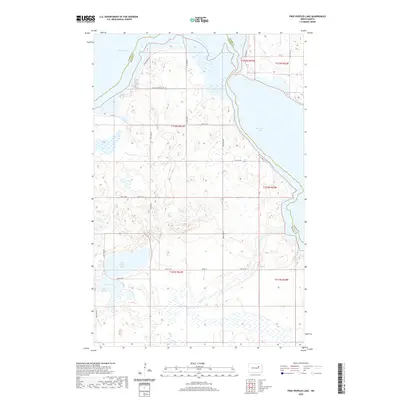
2020 Map of Free Peoples Lake
USGS Topo · Published 2020About this map
Devils Lake and its eastern reaches dominate this North Dakota landscape along the border of Ramsey and Benson Counties. The topography is defined by a complex network of wetlands and small basins, including the namesake Free Peoples Lake and the nearby Elbow Lake. A sparse grid of rural roads, such as Co Rd 0353 and 34th St NE, connects the few developments in the area, notably the residential area along Prairiewood Ln. This 2020 record captures the shoreline and hydrological boundaries of the East Devils Lake region, providing a modern benchmark for the fluctuating water levels that have historically shaped the Wood Lake District. The map also illustrates the interface between agricultural section lines and the irregular water bodies that characterize this part of the prairie pothole region.
Find a feature on this map
18 named features on this map. Tap any name to fly to it.
Don’t see what you’re looking for? This feature index may not catch every label — zoom into the map to look around manually.
Map Details
Editions of this 2020 Free Peoples Lake Map
This is the sole edition of this map. No revisions or reprints were ever made.
Other maps of this area

1928 · Tokio
USGS Topo · 1:62,500

1930 · Hamar
USGS Topo · 1:62,500

1931 · Tokio
USGS Topo · 1:62,500

1931 · Devils Lake
USGS Topo · 1:62,500

1950 · Tokio
USGS Topo · 1:24,000

1950 · Devils Lake
USGS Topo · 1:62,500

1950 · Devils Lake Mountain
USGS Topo · 1:24,000

1951 · Crary
USGS Topo · 1:24,000

1951 · Devils Lake Mountain
USGS Topo · 1:24,000

1951 · Devils Lake
USGS Topo · 1:24,000