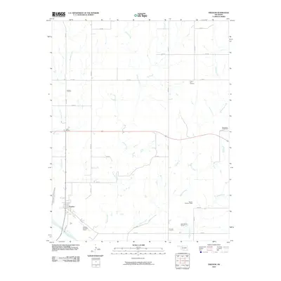
2010 Map of Freedom
USGS Topo · Published 2010About this map
Freedom lies near the southern bank of the Cimarron River, serving as a central point for the surrounding Woods County ranching and farming landscape. This 2010 survey illustrates a grid of section-line roads, such as e0150 RD and n2200 RD, which connect scattered homesteads to the town and its Freedom Municipal Airport. The terrain is defined by a dendritic network of drainages, including Anderson Creek, Bull Creek, and Redhorse Creek, many of which feature localized water management structures like the Benson Number 3 Dam.
Find a feature on this map
29 named features on this map. Tap any name to fly to it.
Don’t see what you’re looking for? This feature index may not catch every label — zoom into the map to look around manually.
Map Details
Editions of this 2010 Freedom Map
This is the sole edition of this map. No revisions or reprints were ever made.
Other maps of this area

1955 · Woodward
USGS Topo · 1:250,000

1958 · Woodward
USGS Topo · 1:250,000

1969 · Waynoka NW
USGS Topo · 1:24,000

1969 · Tegarden NW
USGS Topo · 1:24,000

1969 · Tegarden
USGS Topo · 1:24,000

1970 · Alabaster Caverns
USGS Topo · 1:24,000

1970 · Freedom NE
USGS Topo · 1:24,000

1970 · Fairvalley
USGS Topo · 1:24,000

1970 · Freedom NW
USGS Topo · 1:24,000

1970 · Edith
USGS Topo · 1:24,000