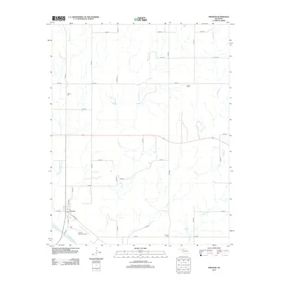
2012 Map of Freedom
USGS Topo · Published 2012About this map
Freedom serves as the primary hub for this section of Woods County, situated just north of the wide Cimarron River valley. The town layout is defined by Main St and Cimarron Rd, with the Freedom Municipal Airport positioned on the southern outskirts. The surrounding landscape is dominated by a series of north-south drainage systems, including Houston Cr, Anderson Cr, Bull Cr, and Redhorse Cr, which carve through the plains. Local history is anchored by several rural burial sites, including Freedom Cem west of town, Preston Hill Cem to the northeast, and Fairvalley Cem in the southeast. A strictly gridded section-line road network, such as E0120 Rd and N2200 Rd, provides access to the agricultural acreage that fills the spaces between these shifting creeks.
Find a feature on this map
33 named features on this map. Tap any name to fly to it.
Don’t see what you’re looking for? This feature index may not catch every label — zoom into the map to look around manually.
Map Details
Editions of this 2012 Freedom Map
This is the sole edition of this map. No revisions or reprints were ever made.
Other maps of this area

1955 · Woodward
USGS Topo · 1:250,000

1958 · Woodward
USGS Topo · 1:250,000

1969 · Waynoka NW
USGS Topo · 1:24,000

1969 · Tegarden NW
USGS Topo · 1:24,000

1969 · Tegarden
USGS Topo · 1:24,000

1970 · Alabaster Caverns
USGS Topo · 1:24,000

1970 · Freedom NE
USGS Topo · 1:24,000

1970 · Fairvalley
USGS Topo · 1:24,000

1970 · Freedom NW
USGS Topo · 1:24,000

1970 · Edith
USGS Topo · 1:24,000