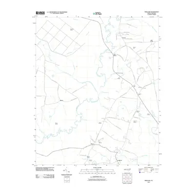
2010 Map of Freeland
USGS Topo · Published 2010About this map
The Waccamaw River winds through a landscape defined by expansive swamps and rural settlements in this coastal plain region. Small communities such as Freeland, Ash, and Longwood are connected by a network of local roads that navigate around significant wetland features like Scippio Swamp and Wet Ash Swamp. The presence of several family-named burial sites, including the Azor James Smith Cemetery and McKeithan Cemetery, highlights the deep-rooted genealogical history of the area.
Find a feature on this map
68 named features on this map. Tap any name to fly to it.
Don’t see what you’re looking for? This feature index may not catch every label — zoom into the map to look around manually.
Map Details
Editions of this 2010 Freeland Map
This is the sole edition of this map. No revisions or reprints were ever made.
Other maps of this area
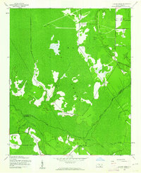
1942 · Juniper Creek
USGS Topo · 1:24,000
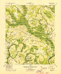
1943 · Pireway
USGS Topo · 1:31,680
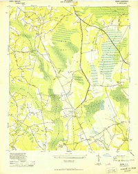
1943 · Nakina
USGS Topo · 1:24,000
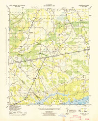
1943 · Calabash
USGS Topo · 1:31,680
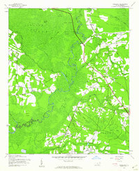
1943 · Freeland
USGS Topo · 1:24,000
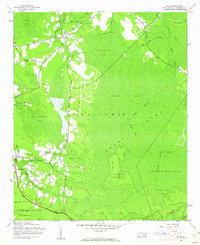
1943 · Exum
USGS Topo · 1:24,000
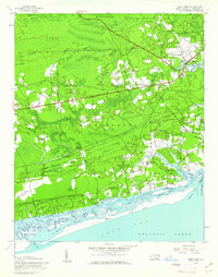
1943 · Shallotte
USGS Topo · 1:24,000
1944 · Longs
USGS Topo · 1:31,680
1944 · Shallotte
USGS Topo · 1:31,680

1949 · Georgetown
USGS Topo · 1:250,000