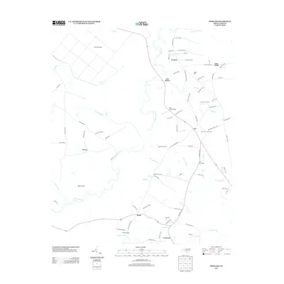
2013 Map of Freeland
USGS Topo · Published 2013About this map
The Waccamaw River carves a meandering path through this part of Brunswick County, creating a landscape of dense wetlands and isolated high ground. Small crossroads communities like Freeland, Ash, and New Britton are situated along the primary roads that navigate around significant topographical features such as Wet Ash Swamp and Scippio Swamp. The map details the transition from the river's floodplains to slightly elevated areas like Sand Hill and Beech Island, which provided critical sites for early settlement and agriculture in this coastal plain environment.
Find a feature on this map
85 named features on this map. Tap any name to fly to it.
Don’t see what you’re looking for? This feature index may not catch every label — zoom into the map to look around manually.
Map Details
Editions of this 2013 Freeland Map
This is the sole edition of this map. No revisions or reprints were ever made.
Other maps of this area

1942 · Juniper Creek
USGS Topo · 1:24,000

1943 · Pireway
USGS Topo · 1:31,680

1943 · Nakina
USGS Topo · 1:24,000

1943 · Calabash
USGS Topo · 1:31,680

1943 · Freeland
USGS Topo · 1:24,000

1943 · Exum
USGS Topo · 1:24,000

1943 · Shallotte
USGS Topo · 1:24,000

1944 · Longs
USGS Topo · 1:31,680

1944 · Shallotte
USGS Topo · 1:31,680

1949 · Georgetown
USGS Topo · 1:250,000