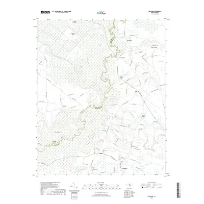
2019 Map of Freeland
USGS Topo · Published 2019About this map
The Waccamaw River winds through the heart of this coastal plain landscape, defining the boundary between Columbus and Brunswick counties. The low-lying terrain is dominated by a dense network of wetlands and swamps, including Horse Pen Swamp, Hog Swamp, and Scippio Swamp. These water systems create isolated landforms such as Beech Island, Cow Pen Island, and Sweetgum Island, which stand out against the surrounding riverine environment.
Find a feature on this map
96 named features on this map. Tap any name to fly to it.
Don’t see what you’re looking for? This feature index may not catch every label — zoom into the map to look around manually.
Map Details
Editions of this 2019 Freeland Map
This is the sole edition of this map. No revisions or reprints were ever made.
Other maps of this area

1942 · Juniper Creek
USGS Topo · 1:24,000

1943 · Pireway
USGS Topo · 1:31,680

1943 · Nakina
USGS Topo · 1:24,000

1943 · Calabash
USGS Topo · 1:31,680

1943 · Freeland
USGS Topo · 1:24,000

1943 · Exum
USGS Topo · 1:24,000

1943 · Shallotte
USGS Topo · 1:24,000

1944 · Longs
USGS Topo · 1:31,680

1944 · Shallotte
USGS Topo · 1:31,680

1949 · Georgetown
USGS Topo · 1:250,000