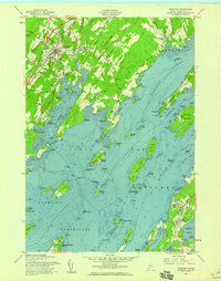
1957 Map of Freeport
USGS Topo · Published 1959About this map
Freeport serves as the inland hub for this coastal survey, where the Maine Central RR and the Maine Blue Star Hwy intersect north of the harbor. The landscape is defined by the deeply indented finger-like peninsulas of Merepoint Neck and Harpswell Neck, which reach into the island-studded waters of Casco Bay. A complex network of tidal flats and coves, including Staples Cove and Brickyard Cove, illustrates the area's intricate maritime geography.
Find a feature on this map
93 named features on this map. Tap any name to fly to it.
Don’t see what you’re looking for? This feature index may not catch every label — zoom into the map to look around manually.
Map Details
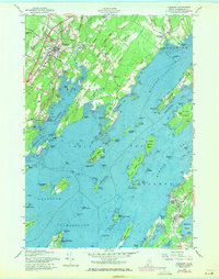
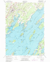
Editions of this 1957 Freeport Map
3 editions found
Other maps of this area

1892 · Freeport
USGS Topo · 1:62,500

1893 · Small Point
USGS Topo · 1:62,500

1893 · Casco Bay
USGS Topo · 1:62,500

1894 · Bath
USGS Topo · 1:62,500

1914 · Casco Bay
USGS Topo · 1:48,000

1916 · Casco Bay
USGS Topo · 1:62,500

1916 · Portland And Vicinity
USGS Topo · 1:62,500

1918 · Portland And Vicinity
USGS Topo · 1:62,500

1919 · Small Point
USGS Topo · 1:62,500

1920 · Bath
USGS Topo · 1:62,500