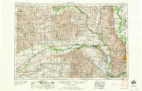
1958 Map of Fremont
USGS Topo · Published 1958About this map
The confluence of the Loup River and the Platte River near Columbus anchors this 1958 topographic survey of eastern Nebraska. The map illustrates a landscape defined by the expansive river valleys and the sophisticated rail network that facilitated the region’s growth. Major rail lines, including the Union Pacific Railroad and the Chicago and North Western Railway, parallel the river courses, connecting agricultural hubs like Fremont, Schuyler, and David City. The eastern edge of the map shows the burgeoning metropolitan area of Omaha, including the vital military installation at Offutt Air Force Base.
Find a feature on this map
197 named features on this map. Tap any name to fly to it.
Don’t see what you’re looking for? This feature index may not catch every label — zoom into the map to look around manually.
Map Details
Editions of this 1958 Fremont Map
This is the sole edition of this map. No revisions or reprints were ever made.
Other maps of this area
1893 · Omaha
USGS Topo · 1:62,500
1893 · Fremont
USGS Topo · 1:125,000
1896 · Stromsburg
USGS Topo · 1:125,000
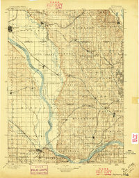
1896 · Fremont
USGS Topo · 1:125,000
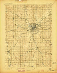
1897 · Lincoln
USGS Topo · 1:125,000
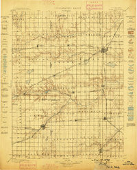
1898 · York
USGS Topo · 1:125,000
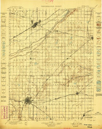
1898 · Grand Island
USGS Topo · 1:125,000
1899 · Wahoo
USGS Topo · 1:125,000
1899 · David City
USGS Topo · 1:125,000
1899 · St. Paul
USGS Topo · 1:125,000