2022 Map of Fremont
USGS Topo · Published 2022About this map
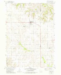
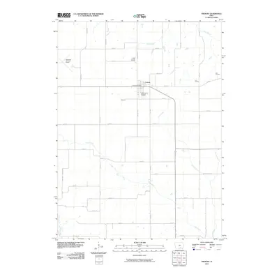
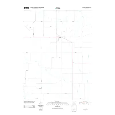
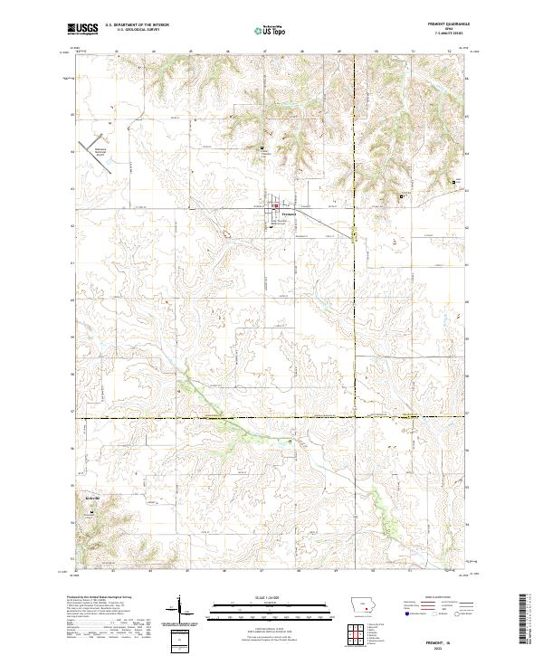
Fremont stands at the intersection of a rigid grid of agricultural roads and winding waterways in Mahaska County. The landscape is defined by the drainage basins of Cedar Cr, Spring Cr, and several smaller branches like Olive Br and Mattix Br. While the northern portion of the map is dominated by the town of Fremont and its surrounding cemeteries, including Cedar Township Cem and Cedar Township Memorial Cem, the southern reach transitions into Wapello County toward Kirkville. Local history is preserved in several small burial sites like Ford Cem, Helm Cem, and the lone Thompson Grave. The presence of the Oskaloosa Municipal Airport in the northwest corner highlights the modern infrastructure serving this rural corridor near the junctions of Mahaska, Keokuk, and Wapello counties.
Find a feature on this map
62 named features on this map. Tap any name to fly to it.
Don’t see what you’re looking for? This feature index may not catch every label — zoom into the map to look around manually.
Map Details
Editions of this 2022 Fremont Map
This is the sole edition of this map. No revisions or reprints were ever made.
Historical Maps of Fremont Through Time
6 maps found