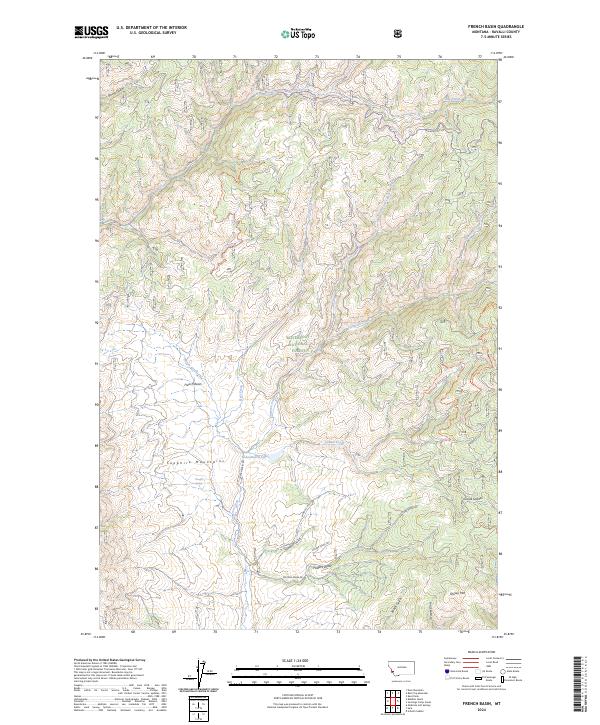
2024 Map of French Basin
USGS Topo · Published 2024About this map
The Sapphire Mountains define the high country of this portion of the Bitterroot National Forest in western Montana. The landscape is carved by a network of drainages including Rye Creek, Cameron Creek, and Lyman Creek, which have shaped the distinctive topography of the French Basin. This area reflects a long history of forest management and backcountry access, with established routes like the Skalkaho-Rye Rd and various forest trails connecting the ridgelines and gulches.
Find a feature on this map
28 named features on this map. Tap any name to fly to it.
Don’t see what you’re looking for? This feature index may not catch every label — zoom into the map to look around manually.
Map Details
Editions of this 2024 French Basin Map
This is the sole edition of this map. No revisions or reprints were ever made.
Other maps of this area

1901 · Hamilton
USGS Topo · 1:125,000

1909 · Sapphire
USGS Topo · 1:125,000

1947 · Butte
USGS Topo · 1:250,000

1955 · Dillon
USGS Topo · 1:250,000

1956 · Elk City
USGS Topo · 1:250,000

1956 · Hamilton
USGS Topo · 1:250,000

1957 · Dillon
USGS Topo · 1:250,000

1958 · Butte
USGS Topo · 1:250,000

1958 · Dillon
USGS Topo · 1:250,000

1959 · Hamilton
USGS Topo · 1:250,000