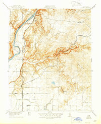
1922 Map of Friant
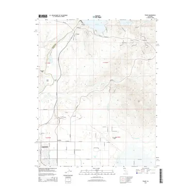
USGS Topo · Published 1946About this map
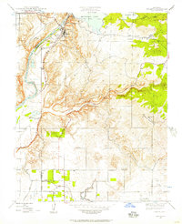
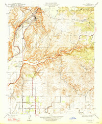
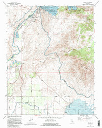
Friant stands as the primary hub along the San Joaquin River in this 1919 survey, documented before the construction of major modern water control projects. The landscape is defined by the transport network of the Southern Pacific and the San Joaquin and Eastern railroads, which facilitated the local economy of ranching and resource extraction. Evidence of early industry and infrastructure appears in the Fresno Copper Mine and the Clovis Canal, while local life is anchored by rural landmarks like Millerton School and Pollasky School. The topography transitions from the river's path around Ledger Island to the higher elevations of Owens Mountain, providing a clear view of the area's transition from riparian valley to foothills. Small sidings and stops like El Prado and Gordon Siding reveal the importance of the rail lines to these Fresno County communities.
Find a feature on this map
19 named features on this map. Tap any name to fly to it.
Don’t see what you’re looking for? This feature index may not catch every label — zoom into the map to look around manually.
Map Details
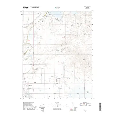
Editions of this 1922 Friant Map
2 editions found

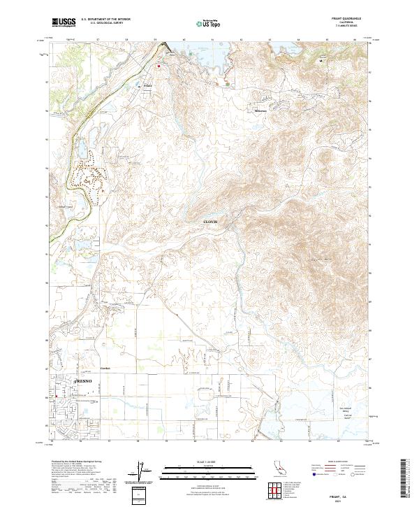
Historical Maps of Fresno Through Time
8 maps found