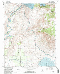
1964 Map of Friant
USGS Topo · Published 1995About this map
Friant Dam anchors this mid-century landscape where the San Joaquin River emerges from the foothills into the Central Valley. The 1964 survey captures a moment of established water management and emerging recreation, centered on Millerton Lake and the Friant-Kern Canal. To the south, the rectangular grid of the San Joaquin Valley begins to take shape with roads like Clovis Ave and Copper Ave defining the agricultural and industrial landscape near the settlement of Gordon.
Find a feature on this map
46 named features on this map. Tap any name to fly to it.
Don’t see what you’re looking for? This feature index may not catch every label — zoom into the map to look around manually.
Map Details
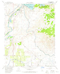
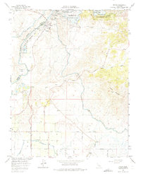
Editions of this 1964 Friant Map
3 editions found
Other maps of this area

1912 · Mariposa
USGS Topo · 1:125,000

1916 · Sulphur Springs
USGS Topo · 1:24,000

1919 · Sulphur Springs
USGS Topo · 1:31,680

1919 · Little Table Mountain
USGS Topo · 1:31,680

1921 · Bullard
USGS Topo · 1:31,680

1922 · Round Mountain
USGS Topo · 1:31,680

1922 · Lanes Bridge
USGS Topo · 1:31,680

1922 · Friant
USGS Topo · 1:31,680

1923 · Academy
USGS Topo · 1:31,680

1923 · Clovis
USGS Topo · 1:31,680