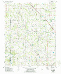
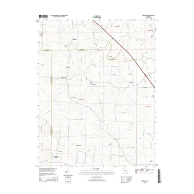
1980 Map of Friedheim
USGS Topo · Published 1986About this map
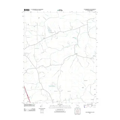
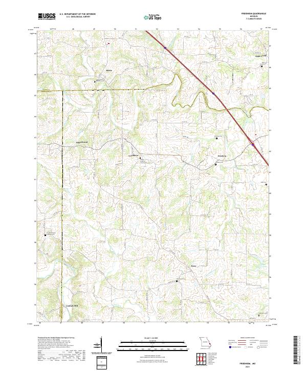
The rolling hills of southeastern Missouri are defined here by a network of drainage basins and tight-knit rural communities. Apple Creek meanders across the center of the sheet, carving through the terrain where Perry and Cape Girardeau counties meet. The landscape is dotted with small settlements like Friedheim, Arnsberg, and Biehle, reflecting a pattern of late-20th-century agrarian life where small churches and family burial grounds remain the primary landmarks.
Find a feature on this map
32 named features on this map. Tap any name to fly to it.
Don’t see what you’re looking for? This feature index may not catch every label — zoom into the map to look around manually.
Map Details
Editions of this 1980 Friedheim Map
2 editions found

Historical Maps of Conrads Mill Through Time
17 maps found
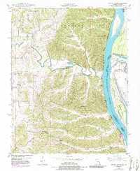
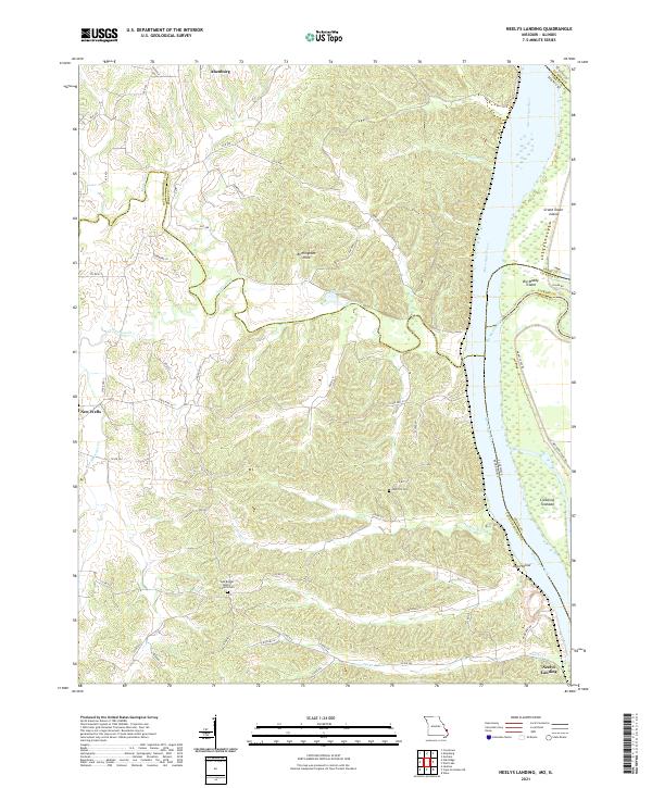
1948 Neelys Landing
Cape Girardeau County, MO
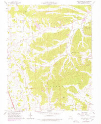
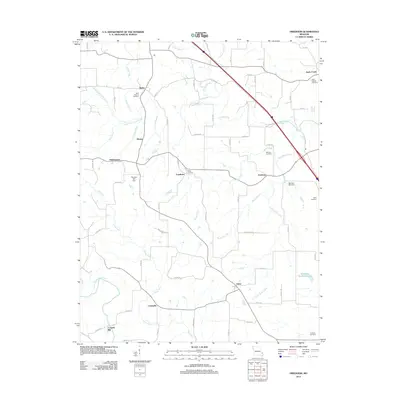
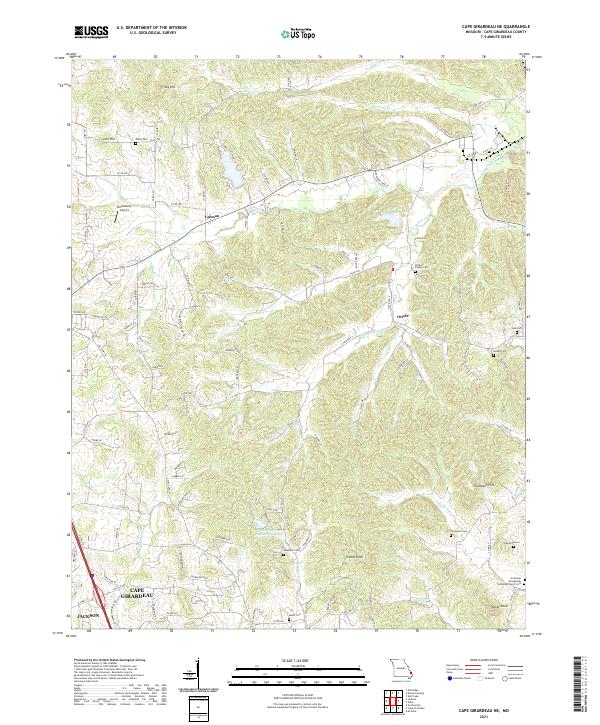
1967 Cape Girardeau NE
Cape Girardeau County, MO
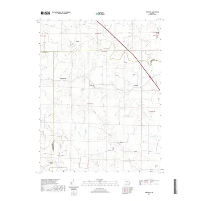
1980 Friedheim
Cape Girardeau County, MO
1993 Cape Girardeau NE
Cape Girardeau County, MO

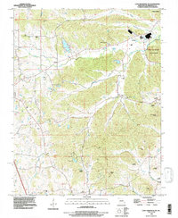
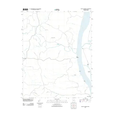
1993 Neelys Landing
Cape Girardeau County, MO
2012 Cape Girardeau NE
Cape Girardeau County, MO
2012 Friedheim
Cape Girardeau County, MO
2012 Neelys Landing
Cape Girardeau County, MO
2015 Cape Girardeau NE
Cape Girardeau County, MO
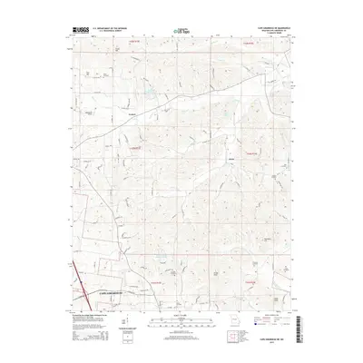
2015 Friedheim
Cape Girardeau County, MO
2015 Neelys Landing
Cape Girardeau County, MO
2017 Cape Girardeau NE
Cape Girardeau County, MO
2017 Friedheim
Cape Girardeau County, MO
2017 Neelys Landing
Cape Girardeau County, MO
2021 Cape Girardeau NE
Cape Girardeau County, MO
2021 Friedheim
Cape Girardeau County, MO
2021 Neelys Landing
Cape Girardeau County, MO