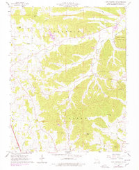
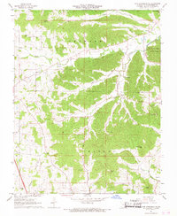
1967 Map of Cape Girardeau NE
USGS Topo · Published 1978About this map
Trail of Tears State Park anchors the northeastern corner of this Cape Girardeau County landscape, overlooking the Mississippi River bluffs. The interior terrain is defined by the winding paths of Indian Creek and Cape La Croix Creek, which carve through the townships of Shawnee, Byrd, and Randol. Rural life in the late 1960s centered on small settlements like Leemon, Oriole, and Neelys Landing, with historical roots visible in landmarks such as Old McHendree Chapel and McLains Chapel. Genealogists will find a wealth of family-named locations, including the Vangilder, Noland, and Lange cemeteries. The emergence of modern communication is noted by the presence of Radio Towers (KFVS-TV), while prominent elevations like Grassy Knob and Thompson Hill dictate the area's topographic character.
Find a feature on this map
35 named features on this map. Tap any name to fly to it.
Don’t see what you’re looking for? This feature index may not catch every label — zoom into the map to look around manually.
Map Details
Editions of this 1967 Cape Girardeau NE Map
2 editions found
Other maps of this area

1918 · Altenburg
USGS Topo · 1:62,500

1920 · Jonesboro
USGS Topo · 1:62,500

1922 · Cape Girardeau
USGS Topo · 1:62,500

1923 · Jonesboro
USGS Topo · 1:62,500

1924 · Cape Girardeau
USGS Topo · 1:62,500

1924 · Alto Pass
USGS Topo · 1:62,500

1925 · Altenburg
USGS Topo · 1:62,500

1947 · Jonesboro
USGS Topo · 1:62,500

1947 · Alto Pass
USGS Topo · 1:62,500

1947 · Mc Clure
USGS Topo · 1:24,000