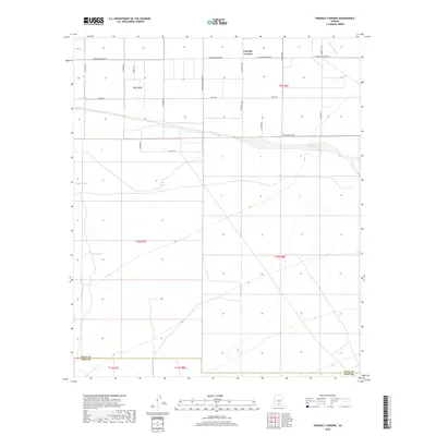
2018 Map of Friendly Corners
USGS Topo · Published 2018About this map
Friendly Corners serves as the primary focal point of this Pinal County landscape, situated at the intersection of S Sunshine Blvd and Greene Reservoir Rd. The area is defined by its agricultural and water management infrastructure, most notably the Greene Canal which cuts across the central portion of the survey. This waterway, along with the nearby Santa Cruz River in the northeast, underscores the vital importance of irrigation in this arid desert region.
Find a feature on this map
28 named features on this map. Tap any name to fly to it.
Don’t see what you’re looking for? This feature index may not catch every label — zoom into the map to look around manually.
Map Details
Editions of this 2018 Friendly Corners Map
This is the sole edition of this map. No revisions or reprints were ever made.
Other maps of this area

1934 · Tucson Mountains
USGS Topo · 1:125,000

1934 · Silver Bell
USGS Topo · 1:125,000

1934 · Newman Peak
USGS Topo · 1:125,000

1947 · Red Rock
USGS Topo · 1:62,500

1947 · Eloy
USGS Topo · 1:62,500

1948 · Eloy
USGS Topo · 1:62,500

1956 · Tucson
USGS Topo · 1:250,000

1958 · Tucson
USGS Topo · 1:250,000

1959 · Tucson
USGS Topo · 1:250,000

1959 · Vaca Hills
USGS Topo · 1:62,500