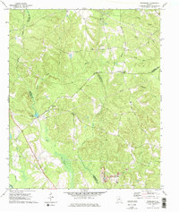
1972 Map of Friendship
USGS Topo · Published 1975About this map
Friendship serves as a central hub for this rural Middle Georgia landscape, situated at the confluence of several county lines during the early 1970s. The region is defined by its deep spiritual and communal roots, evidenced by the distribution of country churches such as Nebo Ch, Harmony Ch, and County Line Ch. These landmarks provided social structure for the farming and timber families living along the winding banks of Tiger Creek and Town Creek.
Find a feature on this map
29 named features on this map. Tap any name to fly to it.
Don’t see what you’re looking for? This feature index may not catch every label — zoom into the map to look around manually.
Map Details
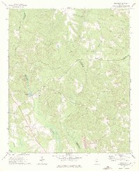
Editions of this 1972 Friendship Map
2 editions found
Other maps of this area

1912 · Milledgeville
USGS Topo · 1:62,500

1916 · Irwinton
USGS Topo · 1:62,500

1920 · Irwinton
USGS Topo · 1:62,500

1953 · Athens
USGS Topo · 1:250,000

1957 · Macon
USGS Topo · 1:250,000

1958 · Macon
USGS Topo · 1:250,000

1958 · Athens
USGS Topo · 1:250,000

1959 · Athens
USGS Topo · 1:250,000

1961 · Deepstep
USGS Topo · 1:24,000

1961 · Warthen NW
USGS Topo · 1:24,000