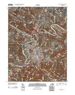
2010 Map of Front Royal
USGS Topo · Published 2010About this map
Front Royal and its surrounding river valleys are the focal point of this 2010 survey, showing the town at a significant stage of modern development. The map details the convergence of the North Fork Shenandoah River and South Fork Shenandoah River, a natural confluence that historically dictated the growth of nearby Riverton. Residential expansion is evident in neighborhoods like Viscose City, Williamsburg Estates, and Highland Park, while the southern edge of the sheet transitions into the protected terrain of Shenandoah National Park along Dickey Ridge.
Find a feature on this map
133 named features on this map. Tap any name to fly to it.
Don’t see what you’re looking for? This feature index may not catch every label — zoom into the map to look around manually.
Map Details
Editions of this 2010 Front Royal Map
This is the sole edition of this map. No revisions or reprints were ever made.
Other maps of this area

1893 · Luray
USGS Topo · 1:125,000

1894 · Winchester
USGS Topo · 1:125,000

1905 · Luray
USGS Topo · 1:125,000

1923 · Middletown
USGS Topo · 1:62,500

1937 · Middletown
USGS Topo · 1:48,000

1938 · Winchester
USGS Topo · 1:48,000

1939 · Front Royal
USGS Topo · 1:48,000

1942 · Winchester
USGS Topo · 1:62,500

1943 · Middletown
USGS Topo · 1:62,500

1944 · Front Royal
USGS Topo · 1:62,500