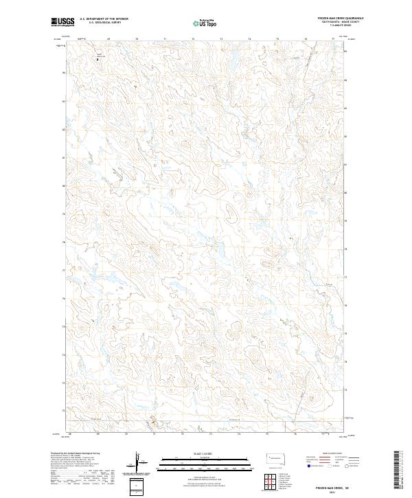
2021 Map of Frozen Man Creek
USGS Topo · Published 2021About this map
Mudd Butte Cem sits in the northwest corner of this Meade County landscape, serving as a primary point of historical interest in a region defined by its complex drainage systems. The terrain is intricately carved by numerous seasonal waterways, including Frozen Man Cr, Plum Cr, and Spring Cr, which move across the prairie in a dense network of draws and breaks.
Find a feature on this map
19 named features on this map. Tap any name to fly to it.
Don’t see what you’re looking for? This feature index may not catch every label — zoom into the map to look around manually.
Map Details
Editions of this 2021 Frozen Man Creek Map
This is the sole edition of this map. No revisions or reprints were ever made.
Other maps of this area

1951 · Cedar Canyon
USGS Topo · 1:24,000

1953 · Rapid City
USGS Topo · 1:250,000

1954 · Lemmon
USGS Topo · 1:250,000

1957 · Lemmon
USGS Topo · 1:250,000

1957 · Rapid City
USGS Topo · 1:250,000

1973 · Frozen Man Creek
USGS Topo · 1:24,000

1977 · Table Top Butte
USGS Topo · 1:24,000
1978 · Camp Creek
USGS Topo · 1:24,000

1978 · Bull Run Creek
USGS Topo · 1:24,000

1980 · Beverly Creek
USGS Topo · 1:25,000